Capturing the wins: Detroit accesses key imagery assets to elevate urban living environments
Detroit is leveraging reality capture data to drive its urban revitalization efforts, creating a comprehensive 3D digital twin of the city to support future planning and daily operations.
The Enterprise Geographic Information Systems (EGIS) Team within the Department of Innovation and Technology developed Detroit Street View (DSV), a mobile mapping program that captures panoramic imagery and LiDAR data for every street in the city. This data is accessible to all government departments and the public, providing a foundation for strategic planning and collaboration.
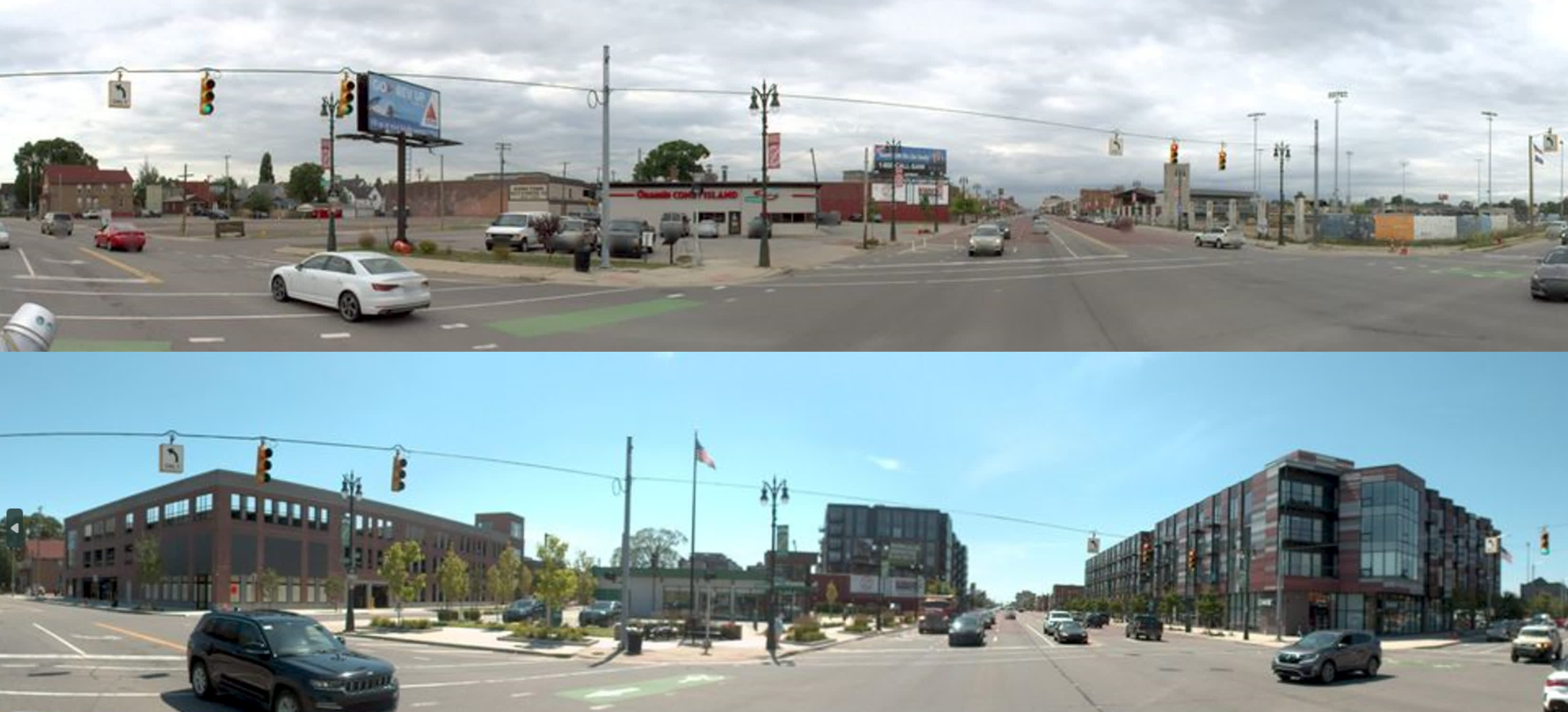
Imaging on a shoestring
Detroit has faced decades of urban blight, economic struggles and population decline, resulting in thousands of abandoned properties. Since 2014, the city has demolished over 25,000 houses and sold or rehabbed over 17,000. Recent investments have led to improvements, including a citywide demolition program that replaces vacant properties with affordable housing, green spaces and retail. The federal infrastructure bill is also helping update stormwater management infrastructure to improve flood prevention. The DSV program supports these efforts by continuously mapping Detroit’s 143 square miles of urban fabric.
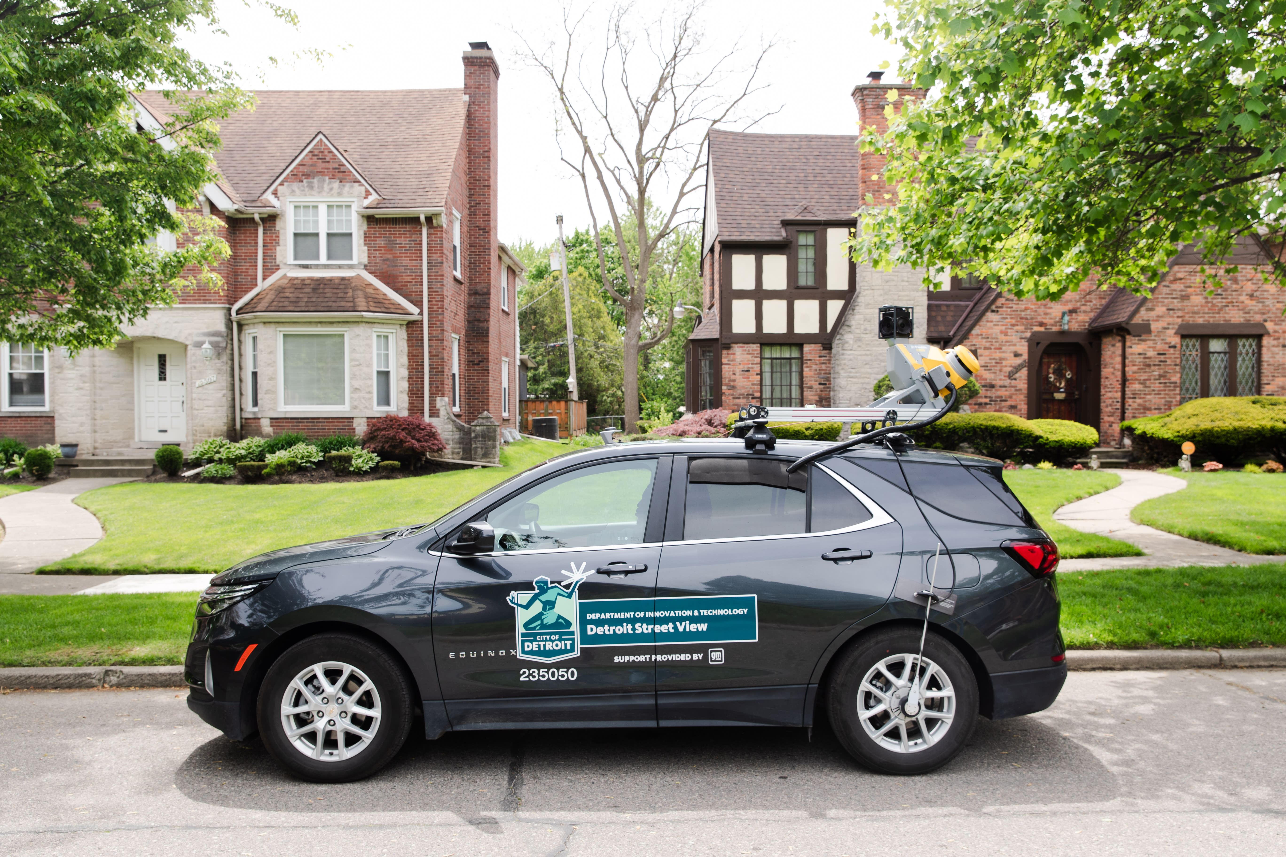
The DSV pilot program began in 2017 with single-frame GoPro imagery captured from a van. As demand for imagery grew, a Mayor’s Innovation Grant funded the upgrade to a Trimble® MX2 mobile mapping system in 2018. A generous grant from General Motors in 2022/2023 enabled the purchase of a Trimble MX50 mobile mapping system, a vehicle-mounted system that captures highly accurate point clouds and 360-degree imagery at highway speed.
“We were looking for a cost-effective method of collecting street image data quickly that could be shared and used by multiple city departments. Hiring third parties to collect data was too expensive and didn’t provide the flexibility we needed to respond to emergencies,” said Tamara Fant, City of Detroit Enterprise Applications Manager.
Making workflows work
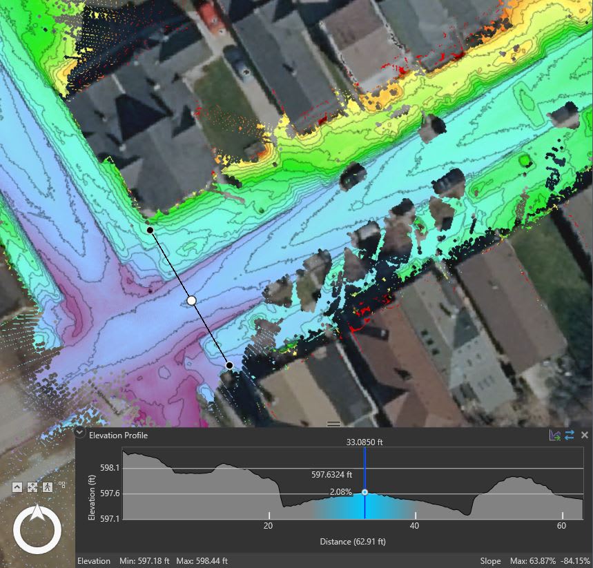
DSV provides foundational imagery and data layers through Mapillary, an online mapping platform. LiDAR data can be requested directly from the city’s EGIS team. Two full-time drivers operate the MX50 daily, aiming to capture the entire city annually and high-priority areas multiple times. The data is processed in Applanix POSPac and Trimble Business Center (TBC) software, then refined and uploaded to Mapillary.
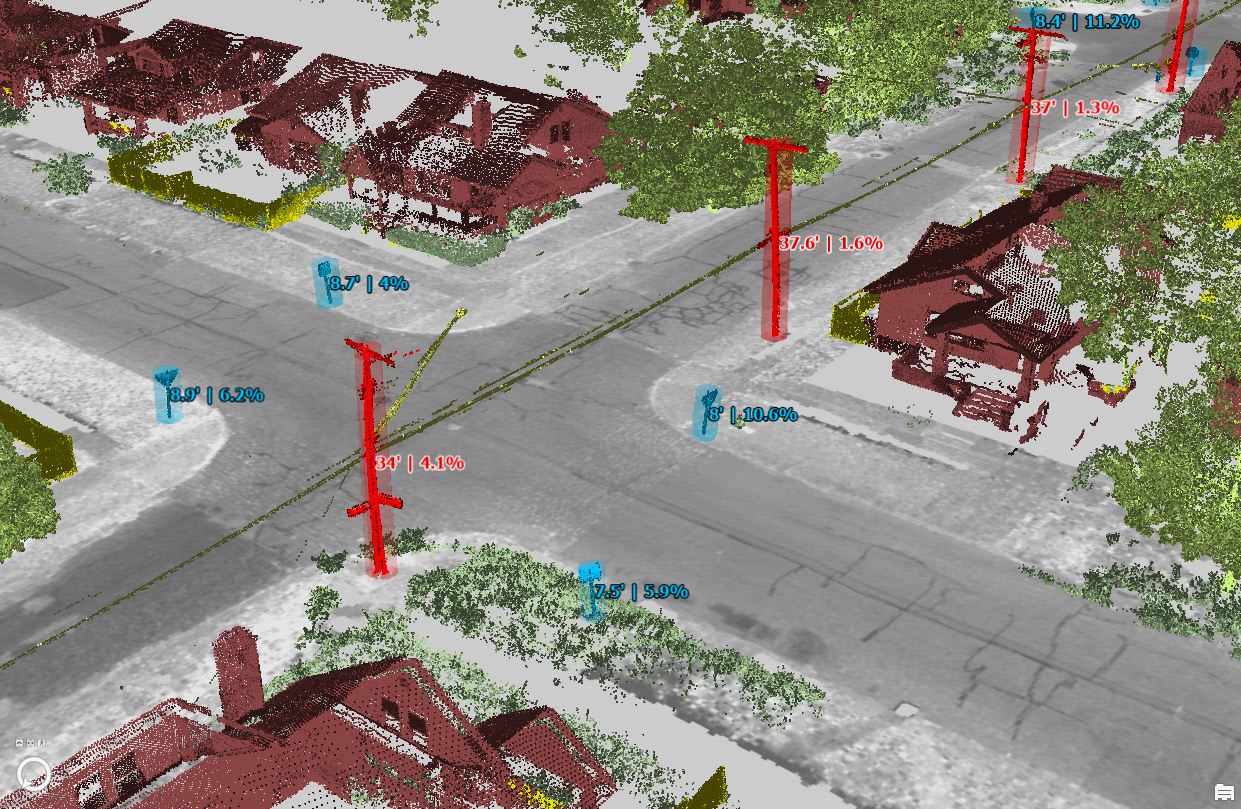
Current geospatial information assists with planning and asset management throughout Detroit. The 360° panoramic imagery and LiDAR data support various applications, including road quality assessment and infrastructure management. The Detroit Water Sewerage Department (DWSD) uses DSV data to maintain its extensive water and sewer system, integrating it with Trimble Cityworks for streamlined workflows.
Smart decisions = significant growth
Detroit is committed to becoming a smart city, upgrading infrastructure with technologies like LED street lighting and smart water meters. The DSV program enhances transparency and digital equity, encouraging public participation in the revitalization process.
“We want DSV embedded across all government operations to leverage the cost savings and extract the full value,” said Fant.
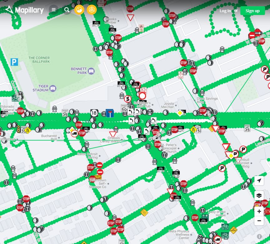
The value of terrestrial/mobile data lies in replicating the environment from the perspective of citizens to help visualize, manage and improve their surroundings. The DSV program has captured 12 million 30-megapixel 360-degree images plus LiDAR, continually discovering new applications to support Detroit’s growth and revitalization.
Learn more about this exciting project in this recently published American City & Country story.