Visualize geographic data easily with Trimble Maps in Trimble Access software
Visualize geographic data easily with Trimble Maps in Trimble Access software
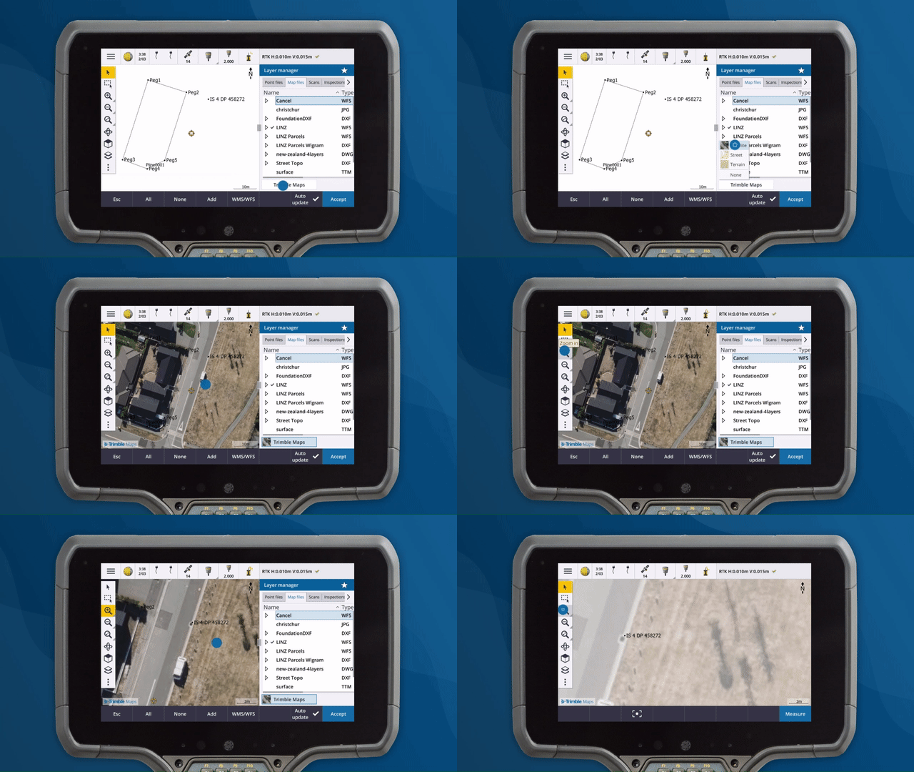
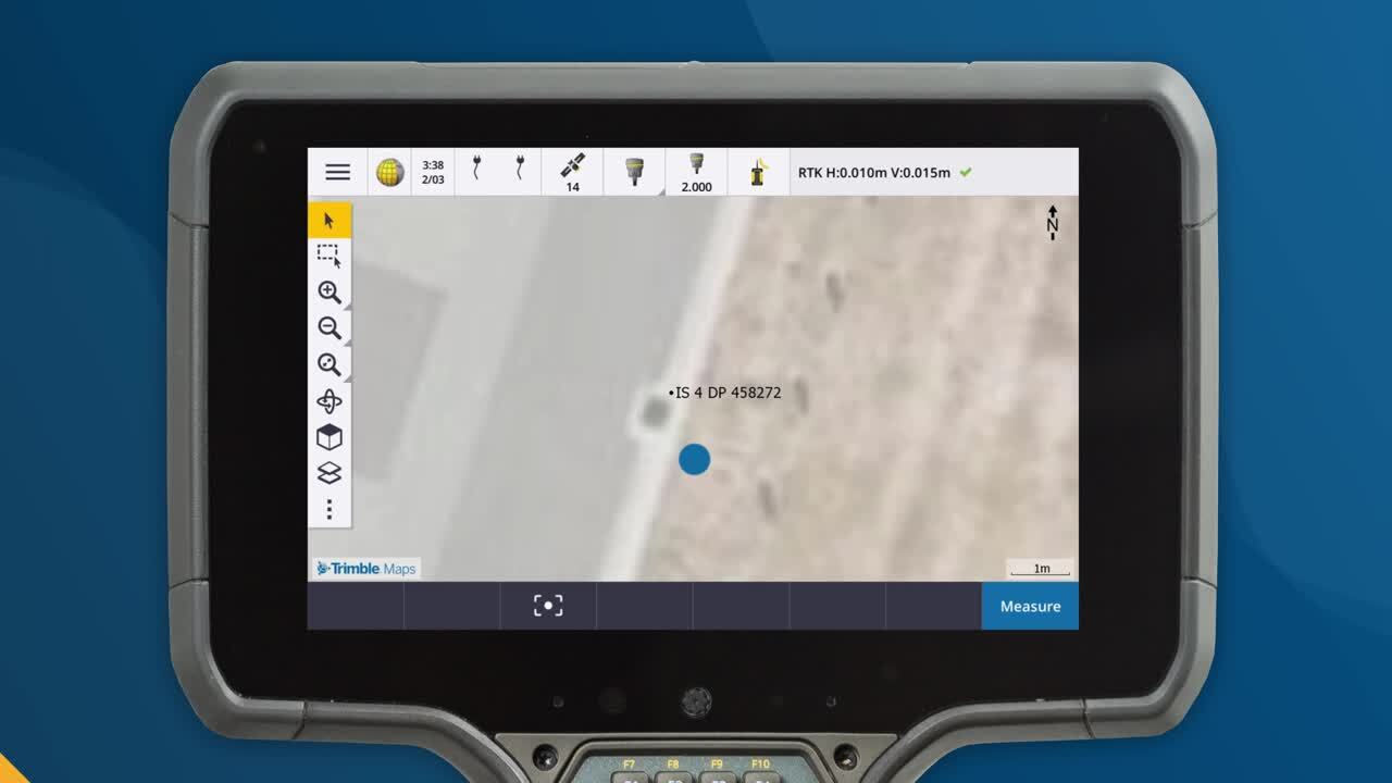
Trimble Maps provides surveyors and other field workers with access to detailed maps and satellite imagery, making it easier than ever before to visualize geographic data and find important landmarks and features in the field. Up-to-date background maps provide you with a better understanding of your surroundings and help you make more informed decisions in the field.
When you are trying to locate control points in the field, Trimble Maps in Trimble® Access™ software can help. Use the georeferenced satellite imagery to easily identify key features near the marker, such as a street light or fire hydrant. Then navigate to the feature and find the control point with ease.

Stakeout deltas in Trimble Access can tell you the direction and distance to get to the point, but they don't tell you the best way to get there when there are obstacles in the way. For instance, the stakeout deltas may direct you to a road that is across a row of terraced houses, and without additional context, you may struggle to find the best path to take to reach the point. But with Trimble Maps, you can use the road view or street view to understand the surrounding environment and determine the best path to take quickly and efficiently. For example, using Trimble Maps you may identify a nearby alley or footpath that will allow you to reach the point.
Trimble Maps is one of the innovative new tools and enhancements in Trimble Access software that enable users to collect, manage and analyze data more efficiently and accurately. Whether you are conducting stakeout operations or need to navigate to survey sites or other important features in the field, Trimble Maps makes it easier than ever before to get the job done quickly and efficiently.
For an overview of how Trimble Maps can make your workflows more efficient with Trimble Access, watch the following video:

In addition to the features mentioned above, the latest release of Trimble Access includes many other enhancements to improve your workflows. For a comprehensive list of these changes, refer to the release notes available on the Trimble Access Help portal.
To learn more about each of these Access features:
For more Trimble Access video content, visit the Trimble Access YouTube channel to watch or subscribe.