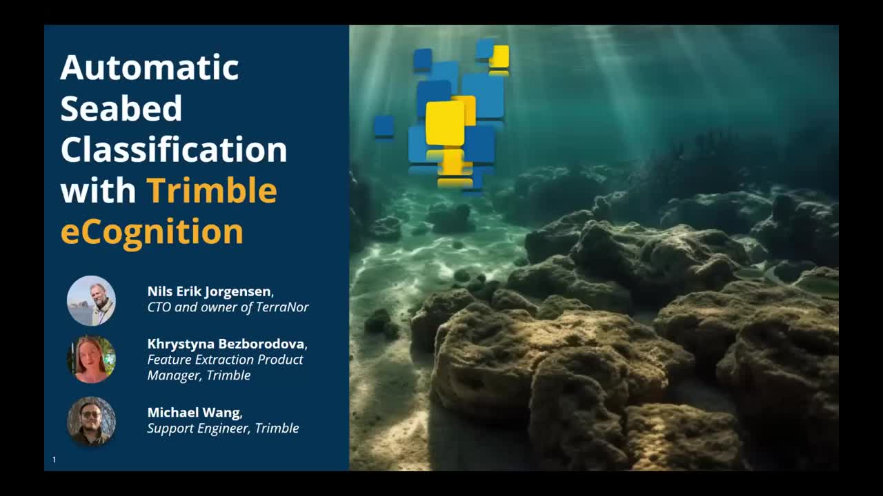
Automatic Seabed Classification with Trimble eCognition

In this webinar, you will see the capabilities of Trimble eCognition software using the example of a recent project focused on the automatic classification of a seabed. The project, led by Nils Erik Jørgensen at TerraNor, used bathymetry and backscatter data acquired from sonar technologies to generate raster layers with default and customized indices such as slope, rugosity, and the bathymetric position index. Trimble eCognition has been a crucial tool for Jørgensen and his team in this project, allowing them to automate the classification process and achieve rapid and reproducible results. With the press of a single button, the data was processed into classification results, which is available in as little as 10 minutes once the training data has been imported. This is a great opportunity for GIS professionals, remote sensing experts, and data scientists to hear from experts in the field and learn about the latest developments in eCognition technology.