What's New In Trimble Access Monitoring Version 1.1.6
Trimble® Access™ Monitoring software is the main avenue for data collection in campaign-based monitoring and is continuously updated for increased user productivity. The latest release, version 1.1.6, adds surface inspection functionality, round export flexibility, descriptive file naming, more control over reporting and a more intuitive orientation workflow.
Continue reading to find out more about the new features, and find links to resources and documentation at the end.
Surface Inspection for Scan to Scan Comparisons
The surface inspection tool was originally released for General Survey in Trimble Access™ software and is now available for the Trimble Access Monitoring software. Previously, users had to exit the monitoring application, switch to the general survey application and do the surface inspection. The ability to do this within the monitoring application streamlines the workflow and increases ease of use for users.
Scan comparisons are typically used in applications such as dam wall or building facade monitoring. Additionally, scanning is useful for monitoring objects that are dangerous or hard to reach. With surface inspections, users can define their inspection criteria, which is then colorized to allow for immediate visualization of movement. This immediate visualization is important for rockslide monitoring where movement may be more sudden.
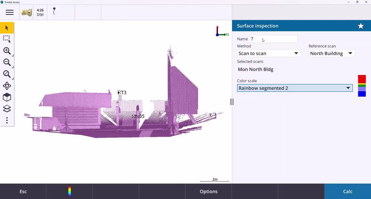
The surface inspection feature of Trimble Access Monitoring.
Export for Only the Latest Monitoring Round
A new feature available in this release is the option to only export the latest monitoring round. This setting is turned off by default but will persist once it is turned on. This feature can be especially useful farther down the project’s life when a job may contain hundreds of rounds and only the latest one is needed after each site visit.
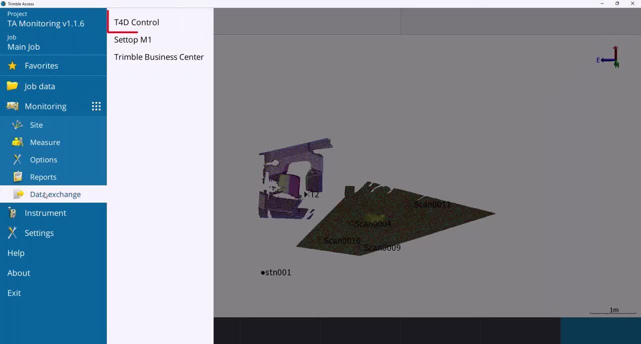
Export of the latest monitoring round.
Set the Decimal Places for Distances & Coordinates in Report Exports
Users can now define the number of decimal places for distances and coordinates in report exports. These can be configured in the units page under the job configuration. Previously, these changes did not translate to exported reports and only impacted the user interface in Trimble Access. This feature provides value in projects where precision is more important and can be translated to reports.
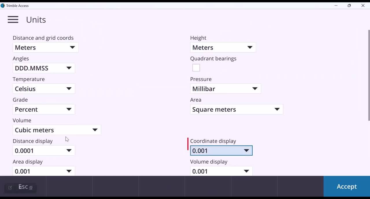
Define the number of decimal places for distances and coordinates.
Descriptive File Naming Convention for Exported Monitoring Rounds
Exported rounds follow a more descriptive file naming convention. Exported rounds use the following format: Jobname_RoundSt#_YYYY_MM_DD. This naming makes it easier to find specific rounds during post-processing. Previously, the export names did not include the date, which made finding the right round especially challenging.
Create more descriptive file names.
More Intuitive & Effective Orientation Workflow
Station setups are now easier to complete in cases where the instrument is returned to a previous setup location. In this new release, the orientation and setup information is stored, allowing Trimble Access to calculate the respective horizontal angle and distance differences. This process is automated and minimizes user interaction, which allows for more productivity in the field.
Install or Upgrade
To install Trimble Access Monitoring software or upgrade an existing version, follow the steps detailed in the Help Portal here.
More Documentation
For more detailed technical updates on the new enhancements, please refer to Trimble Access Monitoring software version 1.1.6 release notes here. For further support information, go to the Support & Downloads section online.
Contact Us
Reach out to the Trimble Monitoring team here to discuss your monitoring projects and learn more or contact your local Trimble Distribution Partner.