Field software
Trimble Access Roads
Finish roading jobs fast.
Trimble® Access™ Roads software defines, stakes and reports on roads with a simple, easy-to-use graphical interface specific to roading operations.
Benefits and performance
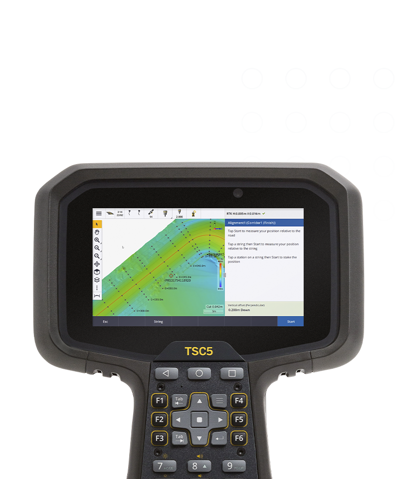
Easy to use, step-by-step workflow
An intuitive interface guides users through a road stakeout project providing a plan or cross-section view of your road during stakeout.
Intuitive interface
The integrated map and menu workflows allow you to interact with your road design from the 3D map view or through menu driven workflows.

Affordable
Lower upfront costs
Flexible
Built around your needs
Always up-to-date
Benefit from enhancements
Features and capabilities

Key in or upload road
Key in a road definition, or upload an industry standard road file, then review the road design in 3D.

Multiple stakeout options
Stake to a station on a string, the nearest string or a side slope. Apply construction offsets. Redesign in real time.

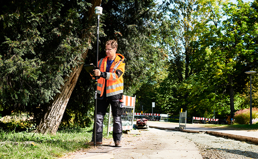
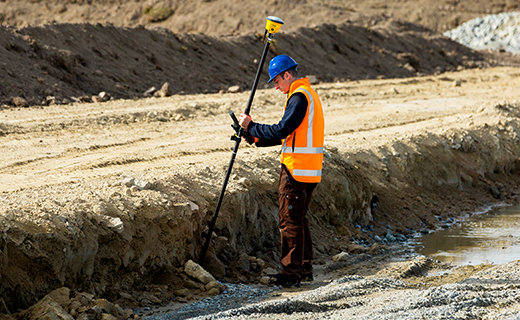
Stake with integrated surveys
Use GNSS for horizontal positioning, and a total station setup with a tie to elevation control to provide accurate elevation stakeout.

In-field real-time reporting
Generate a report for staked road data in the field to check data or to transfer data from field to office for processing.

Industries and applications
The future of your work.
Trimble solutions facilitate high-quality, productive workflows and data exchange, driving value for a global, diverse user base.
Product summary
Trimble Access Roads
Powerful road stakeout software.
Product
Features
Streamlined workflow
Graphical and intuitive UI
Road stakeout
Multiple stakeout methods
Powerful road stakeout software
Side slopes. Subgrade. Cross slope.
Customizable staked deltas
All the tools at your fingertips
Easy data transfer
Trimble office software processing
Customizable outputs and reports
Generate customized field reports
Field software
Trimble Access Roads
Get in touch for recommendations for the Trimble Geospatial hardware, software, and accessories needed to get your job done.
Where to buyWorks with...


Trimble SX12
High-accuracy total station with high-precision scanning capabilities.


Resources and knowledge


Watch what Trimble can do

Join us live or later
Next steps
Our global network of Distribution Partners provides precision geospatial solutions, insight and support at a local level.