Despite major advances in technology, moving data between the field and office and to various stakeholders remains stubbornly entrenched in analog methods: printed pages, USB drives, email attachments and scattered cloud accounts.
Even though 91% of Trimble Geospatial Annual Industry Survey 2025 respondents share data between the field and office, and more than half connect to the internet in the field “always or most of the time,” the reliance on manual data transfer often results in bad data: inaccurate, incomplete or outdated, costing the global construction industry $1.8 trillion a year.
And consider that 34% of construction businesses reported in 2024 that they lacked the budget to make investment in new technologies. Despite this, businesses that do invest in new technologies reported strong returns, with the use of an additional technology associated with 1.4% higher revenue growth, 1% higher profit growth and more projects delivered on time and under budget.
The solution to data consistency is to incorporate field data, office processing and cloud access into a single, cohesive system, designed to eliminate inefficiencies and ensure all stakeholders are always working from the most current information.
Here are four ways that this system can change your field-to-office data flow and operations — and potentially, your business.
1. Seamless collaboration
Connecting the field, office and cloud creates a seamless system designed to eliminate common frustrations and drastically boost data consistency across projects and teams. This connected system allows for a continuous and confident data exchange.

Instant standardization: Manage FXL and units from one connected environment.
Using the cloud as the central bridge, field crews can download daily work orders instantly, avoiding unnecessary trips back to the office. At the end of the day, data and field notes are uploaded to the cloud, where office staff can immediately download and process them. This integration increases efficiency and prevents errors that manual methods would not have caught and fosters better collaboration, leading to improved decision-making — a benefit reported by 66% of project owners using digital workflows.
2. Centralized project data
One of the biggest risks in disconnected surveying workflows is the lack of a central hub, which results in files being scattered across various devices and inboxes. A connected cloud serves as the single source of truth for your project.
This unified system centralizes all project information into a robust cloud project management hub where all field data, design files and deliverables are stored in one place, accessible by everyone from the field surveyor to the survey manager, from any device.
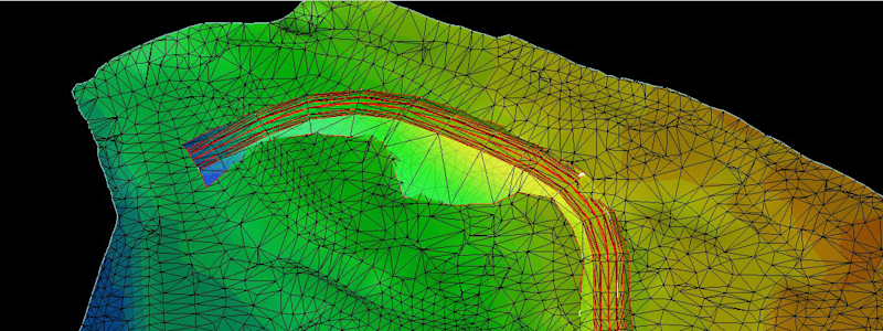
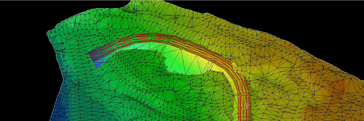
This central hub also enables powerful browser-based inspection tools. Users can compare a model with a point cloud to perform clearance checks and identify collisions, or compare a point cloud against a specific elevation to find high and low spots. A cloud-based clip box also makes it easy to isolate specific data areas to highlight issues or constrain the view to relevant data.

Have all relevant project data at your fingertips in the field.
For field crews, integrated field software acts as a central hub, putting all necessary files, like IFCs, DXFs and control points right at your fingertips. Office staff have direct access to the latest field data uploaded to the cloud without ever having to leave their main interface.
And when office staff have the ability to automatically or manually extract spherical and checkerboard targets in huge reality capture datasets with target-based point cloud registration, it will deliver faster and more accurate results to every reality capture project.
3. Consistent settings, zero errors
Disconnected workflows are inconsistent workflows, which increase the chance for errors, miscommunication and inefficiencies across a project. The connected workflow drastically reduces the risk of setup errors by ensuring project configurations are consistent.

Feature code library in Trimble Connected Workspace to eliminate job setup errors before they happen.
With the improved cloud connection, critical project configurations, such as the coordinate system and the feature library (FXL), are adopted directly from the project settings defined across the system. Every new job automatically inherits these settings, ensuring project-wide consistency and drastically reducing the risk of errors right from the start.
4. Real-time accuracy with automatic syncing
Time spent looking for the correct file or waiting for data from a colleague can cost a team more than 425 hours every year. Automatic syncing ensures your team is always working with real-time accuracy.
In the office, design revisions can be uploaded instantaneously. Field files tagged in the cloud will automatically download to every user’s controller on the project. This capability allows updates to be pushed to field users quickly, ensuring the entire team is aligned and moving forward with the most current data without interruption.

Data from the field can be synchronized to Trimble Connect and available in Trimble Business Center before even leaving the project site.
By adopting the integrated capabilities of Trimble® Connect® cloud software, Trimble Business Center (TBC) office software and Trimble Access field software, survey professionals are eliminating the friction points and hidden costs of manual data transfer and empowering their teams to deliver precise data with greater confidence and speed.
In addition to recent enhanced survey workflows, TBC now features these industry-specific productivity boosts:
Mining: Users will benefit from new functionality, including the addition of tonnage and slope conformance reporting exports
Photogrammetry: The enhancement for ground control point (GCP) detection now achieves faster and more accurate results
Transportation: Connected workflow through integration of Pavement Inspection in TBC with AgileAssets

Ensure one source of truth for all data in the Trimble Connected Workspace.
Learn more about the system specifications and talk to an authorized Trimble dealer to get started or expand your Trimble solution set.


