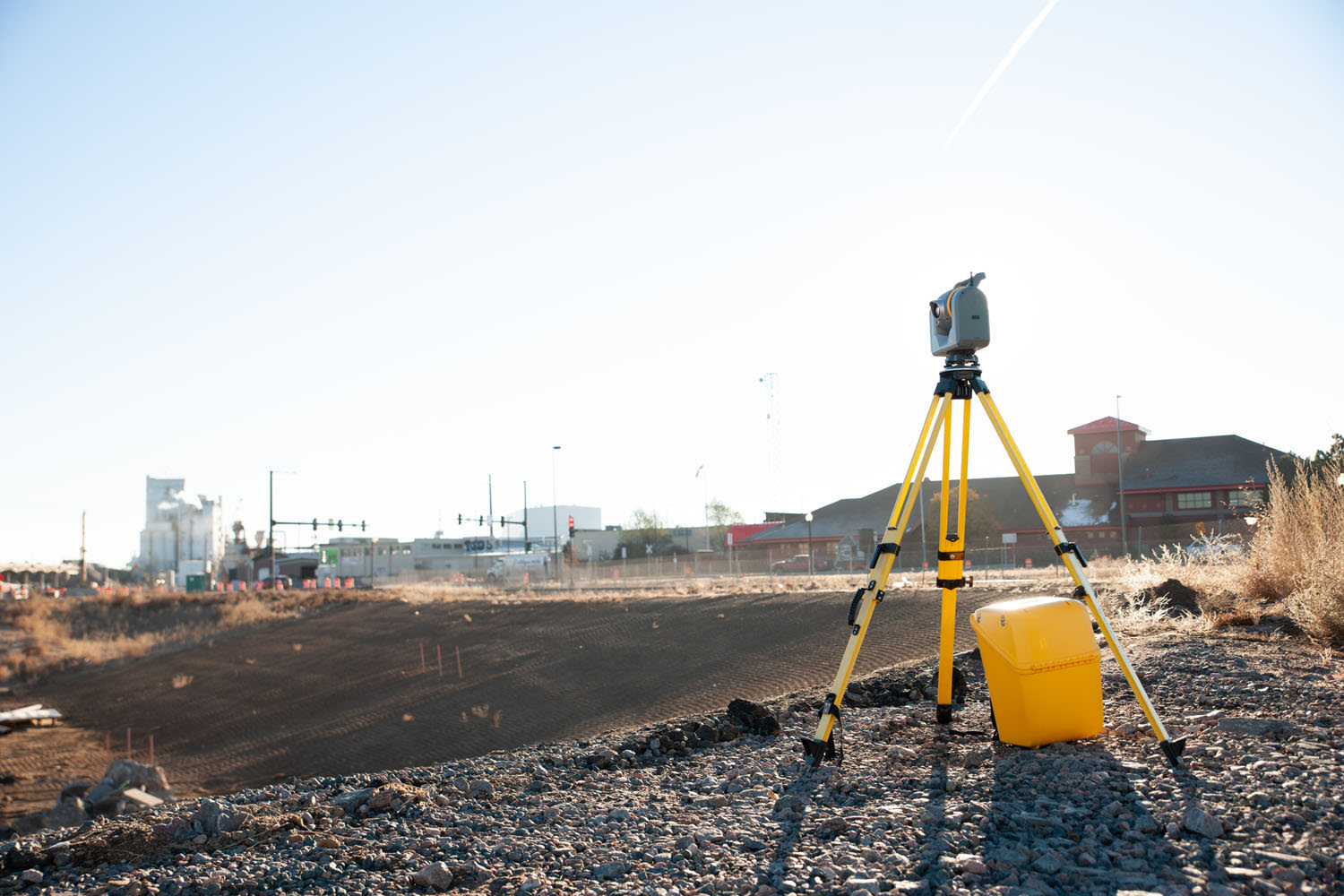
5 ways scanning total stations make topographic surveys faster for surveyors
Topographic surveys are essential for many projects, from commercial real estate to infrastructure development, but they require an exacting level of detail and a high level of concentration for long amounts of time, usually across huge sites. Meeting the stringent standards often associated with these projects can be challenging and taxing to the surveyor using traditional surveying methods.
Topo surveys often are requested with tight schedules and complex work environments, and must adhere to demanding standards of local governments and associations, extending beyond simple boundary definitions to include detailed documentation of property improvements.
The stakeholders involved in commercial real estate transactions — buyers, sellers, attorneys, title companies and lenders — all expect every tiny detail to be captured. Incomplete information or oversight can necessitate revisits, adding time and costs to the project.

With advanced equipment like scanning total stations, surveyors can significantly improve the efficiency and accuracy of topographic surveys, making the work faster and the final deliverable more comprehensive. Because topo is in the top four types of surveying projects (topo, construction layout, boundary and 3D laser scanning), 34% of more than 900 respondents to 2024 Trimble market research have a scanning-capable Trimble total station as part of their equipment.
1. Comprehensive data collection
One of the significant advantages of using a scanning total station is the ability to collect comprehensive data in a single visit, extending the use of field software and reducing the amount of equipment needed for reality capture. Look for a total station that combines precise measurements with high-resolution scanning capabilities, capturing dense data across entire sites in a fraction of the time.
2. Minimizing rework and revisits
Scanning total stations allow surveyors to gather complete datasets, including intricate details like building features, detailed design elements, utilities and parking lot stripes. This comprehensive data collection minimizes the risk of missing critical information and reduces the need for revisits.
3. Streamlined data processing
Processing and integrating field data can be a bottleneck in the survey workflow. Office software that can import and process the site data will facilitate the integration of survey measurements and scanning data, producing 3D point clouds referenced to property boundaries. This workflow and the detail enabled in point clouds allows for the efficient development of accurate drawings and reports that meet industry standards.
4. Handling complex sites with ease
Complex sites with complicated architectural features can pose significant challenges for traditional surveying methods. Scanning total stations excel in these scenarios by capturing detailed 3D models of the site, providing a clear and accurate representation of the layout. This capability is particularly beneficial for projects involving unusual or complex structures.
5. Enhancing productivity and client satisfaction
The efficiency gains from using scanning total stations translates into significant productivity improvements. By capturing more information in less time, you can offer faster turnaround times and more detailed data to clients. This not only enhances client satisfaction, but also provides a competitive advantage in the market. And with cloud platform software, you can save massive amounts of data and share deliverables directly with stakeholders and clients to get the most value out of the system.
Land Surveyor Taylor Denniston, GISP Director of Surveying and Mapping for Smith Roberts Baldischwiler (SRB) in Oklahoma City, USA, highlights the benefits of using a scanning total station: “We are able to do things that we wouldn’t be able to accomplish accurately with traditional surveying methods.” He added, “The ability to gather complete data before leaving a site is a game-changer. We often spend multiple days on a project, capturing everything in detail, which minimizes the need for costly revisits.”
Surveyors starting out with scanning and looking at scanning total stations and 3D laser scanners can use the combination of precision, efficiency and comprehensive data collection to get topo surveys done in a fraction of the time and with an exponentially larger set of data.