How intelligent digital replicas are reshaping the world
The idea of a “digital twin” isn’t new, in fact it was first developed by NASA in the 1960s to help save the Apollo 13 crew by duplicating processes in a digital environment to deploy in the real world.
Today, the world runs on spatial digital twins: dynamic, intelligent, location-aware virtual replicas of physical assets, processes and entire environments. More than just 3D visualizations, these twins are living ecosystems, constantly updated with real-time data and powered by a fusion of cutting-edge technologies.

They are transforming how industries design, operate, optimize and plan for the future, including geospatial, construction, transportation and others. Geospatial data captured by surveyors will unlock more applications in smart cities, infrastructure, utilities and smart agriculture, helping to connect the digital and physical worlds. This revolution is fueled by the convergence of several key technological advancements that have reached critical maturity.
Spatial intelligence from AI
Artificial intelligence is the brain of a spatial twin, turning the raw input data into predictive power. AI is developing spatial intelligence, or the ability to understand and reason about the 3D physical world represented in the digital twin. AI algorithms analyze streams of data from sensors and scans, enabling everything from predictive maintenance to optimizing a city’s traffic grid.
Reality capture and IoT
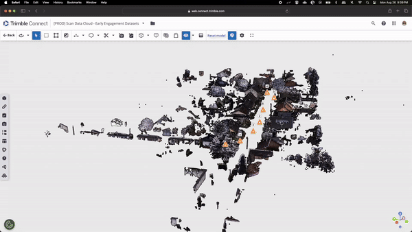
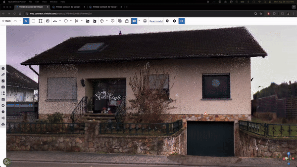
To keep the digital twin synchronized with reality, the spatial framework constantly needs data from a network of high-fidelity sensors. Advanced LiDAR, 3D laser scanning, drone-based photogrammetry and mobile mapping systems capture the physical world quickly and accurately. Data from a network of IoT sensors measuring countless other parameters, including temperature, vibration and occupancy constantly enriches the twin’s framework.
Interactive connectivity
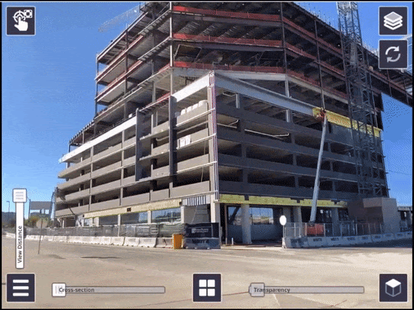
We need to not only look at data, we need to interact with it in immersive ways to visualize and manipulate the digital twins. Using augmented and virtual reality, engineers, planners, designers and surveyors can explore the real-world environment through an immersive virtual experience. Scalable cloud platforms, responsive edge computing and high-bandwidth, low-latency cellular networks all support this interactivity.
Across industries, spatial digital twins are delivering tangible results:
- Smart cities like Singapore and Helsinki use digital twins to optimize traffic flow, manage energy consumption, simulate disaster response and plan infrastructure updates with more foresight
- Digital as-builts in architecture, engineering and construction help all stakeholders manage the entire asset lifecycle, creating a seamless data thread from construction into operations
- Utilities can use digital twins to help them manage aging grids, integrate renewable energy like solar and wind, predict equipment repairs and enhance their resilience to climate and cyber threats
- In agriculture, digital twins fed by drone and sensor data optimize irrigation and fertilization, predict yields and help farms support sustainability goals
The most ambitious of these initiatives is the European Union's Destination Earth (DestinE). Started in 2022, DestinE aims to create a highly accurate digital replica of the entire Earth system by 2030. The project aims to monitor climate change impacts, predicting extreme weather, monitoring Earth systems and supporting the development of adaptation and mitigation strategies.
The use of spatial digital twins is both everyday and extraordinary, with the pace of change and innovation showing no signs of slowing. Industries can expect deeper AI integration, more seamless and more immersive experiences and increased autonomy where twins can initiate actions. As essential tools driving efficiency, the twinning of ever-larger, more connected systems promises even better collaborative and operational environments built on digital twin foundations.