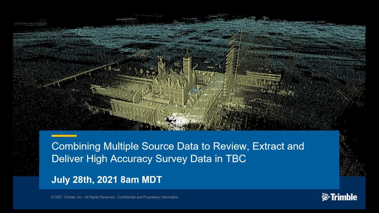
TBC Power Hour: Combining Multiple Source Datasets to Deliver High Accuracy Survey Data

Learn how to use TBC as the central hub to combine Aerial, Terrestrial, and Mobile lidar along with GNSS data collected from multiple origins into a single geodetic model space. In this session, we take a look at some of the common issues and best practices for combining these different data sources to create deliverables from all sensors in one product.