Field software
Trimble Penmap for Android
Simple survey & GIS data collection.
Trimble® Penmap for Android™ mobile application is a powerful cloud-connected application for cadastral field surveying and high-accuracy GIS data collection.
Benefits and performance
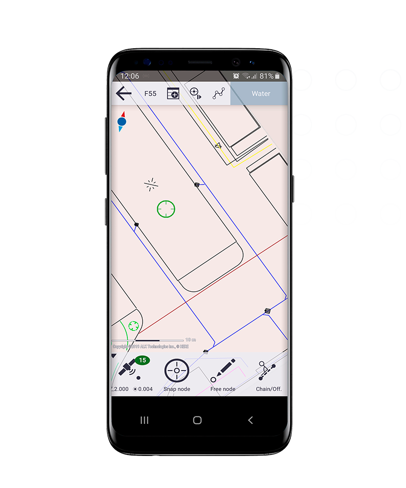
Simple, flexible data collection tool
The map-based, intuitive interface simplifies core survey tasks and facilitates the capture of high-accuracy GIS positions on any Android device.


Trimble GNSS precision & cloud solutions
Utilize on-demand positioning with real-time correction sources for greater accuracy. Cloud sync with Trimble Connect for simplified data management or sharing.
Features and capabilities

A complete system
Leverage core survey functionality and high-accuracy GIS data collection capabilities in one application.

Graphical interface
Intuitive, easy-to-use map-based interface for entering and managing features and attributes.

Compatible with Trimble GNSS
Support real-time correction source methods, including RTK, VRS, Trimble RTX, and the Trimble Catalyst™ positioning service.

Easy sync from field to office
Syncs with Trimble Connect for easy upload and transfer of data from field to office and back.

Industries and applications
The future of your work.
Trimble solutions facilitate high-quality, productive workflows and data exchange, driving value for a global, diverse user base.
Product summary
Trimble Penmap for Android
Simple survey and GIS data collection
Product
Features
Map-based user interface
Intuitive & easy to set up
Core survey and GIS functionality
One application for surveying & GIS
Highly accurate
Supports real-time GNSS corrections
Syncs with Trimble Connect platform
Easy field-to-office data transfer
Streamlined data collection
Snap function for fast data capture
Dynamic feature & attribute system
Compatible with industry standards
Field software
Trimble Penmap for Android
Get in touch for recommendations for the Trimble Geospatial hardware, software, and accessories needed to get your job done.
Where to buyWorks with...


Resources and knowledge


Watch what Trimble can do


Deepen your knowledge
Read customer success stories, study ebooks and white papers, and more.
Next steps
Our global network of Distribution Partners provides precision geospatial solutions, insight and support at a local level.