By Matt Sewick and Hannah Finch, Trimble Brand Team
Precise measurement and positioning are at the core of construction and GIS success, Trimble history and a new video settling a mountaineering debate.
Renowned climber and engineering Ph.D., Eric Gilbertson, Trimble CEO Rob Painter and a Trimble video crew scaled Colorado’s Mt. Elbert in June equipped with Trimble DA2 GNSS receivers. The first-ever satellite measurement of the tallest peak in the Centennial state, and second tallest in the contiguous United States, confirmed a summit elevation of 14,439.45 feet.
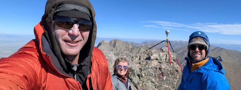
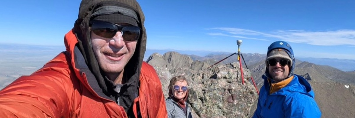
The next stop was the state’s Crestone and East Crestone Peaks. Gilbertson, who has climbed to the highest point in 153 countries, and the video crew this time carried Trimble R980 receivers. The goal was to measure the neighboring summits to settle which is taller and therefore qualifies as a “14er”.
For the uninitiated, “14ers” are independent mountains (how far climbers must descend before climbing an adjacent peak determines if they are “independent”) more than 14,000 feet above sea level. Colorado is home to 53 of them. Summitting them all is an established bucket-list challenge for climbers.
“Trimble in the Wild” chronicles the trip, explains why only one of the Crestone Peaks can be on the official “14er” list and reveals what the climbers found out. Partial spoiler alert: Trimble scanning technology confirmed a height difference of less than 5 inches.
Like Gilbertson and his Trimble companions, the GNSS systems were undeterred by challenging terrain and natural obstacles that could compromise results with older or less advanced options. The Trimble technology mitigates common threats to GNSS accuracy, including multipath, signal blockage and ionospheric disturbances. The millimeter-level precision to resolve the debate about peak heights gives construction and geospatial pros confidence to turn complex survey challenges into highly-accurate reality capture.

Check out additional videos from the Trimble Everywhere You Turn road trip series.


