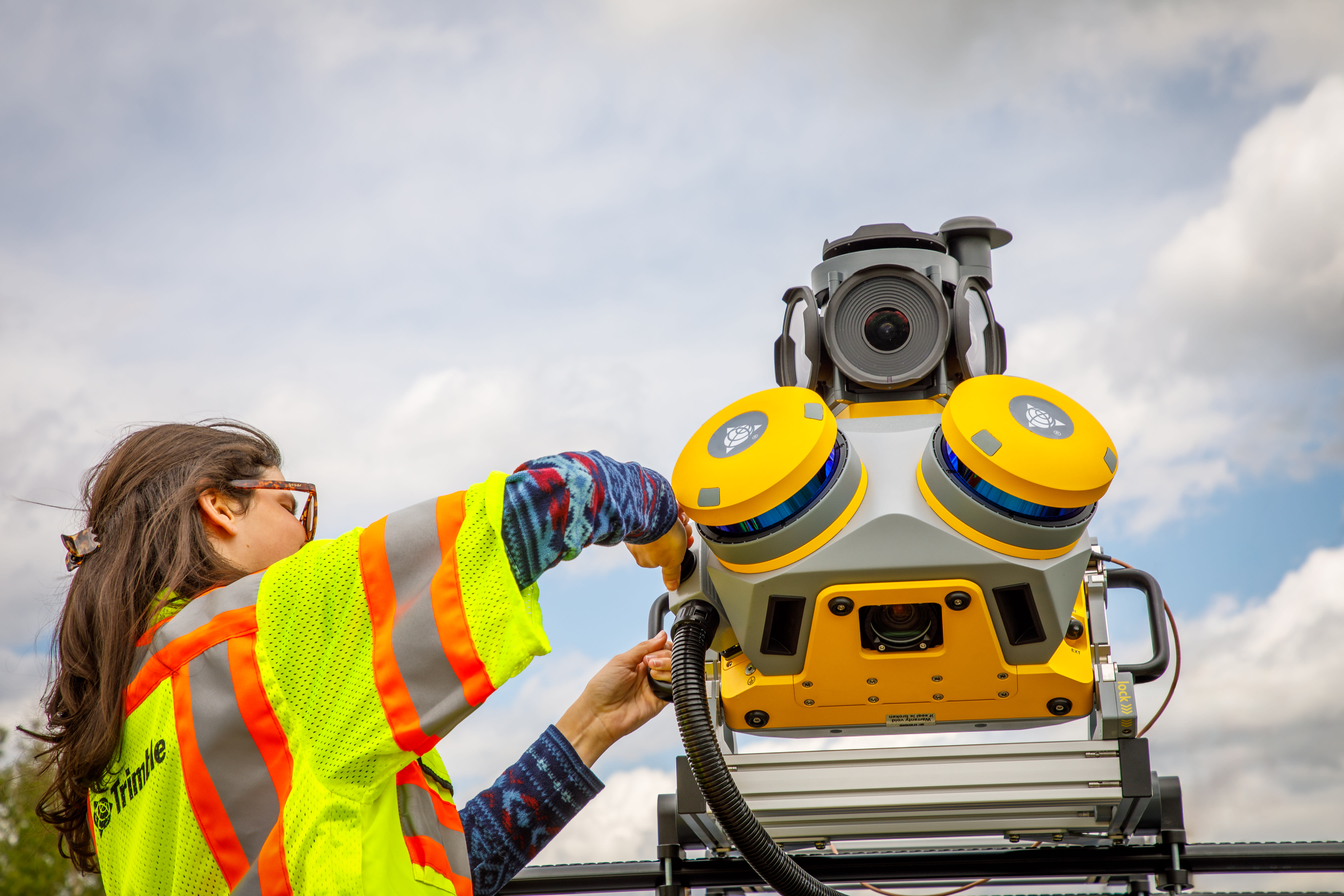
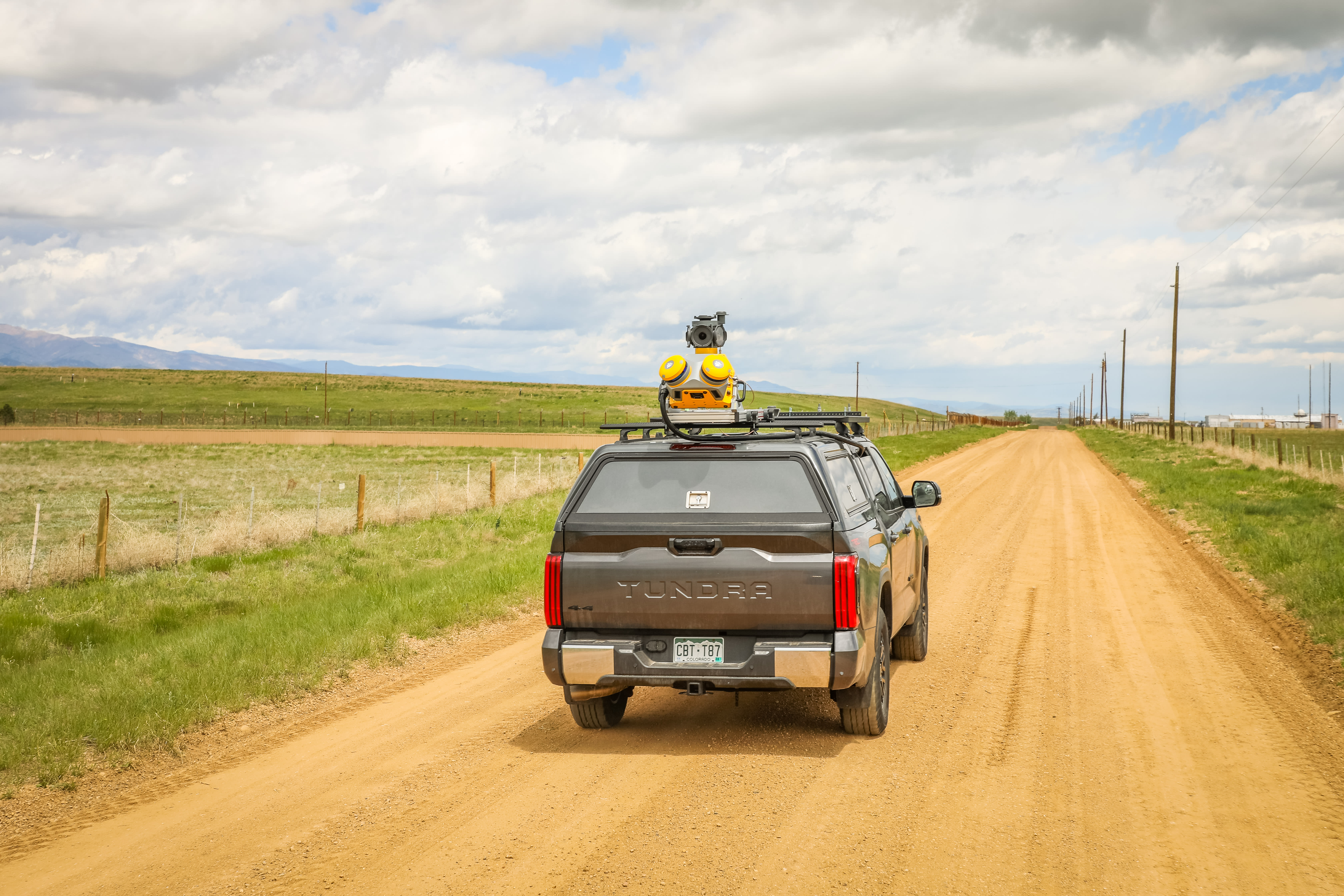
Exploring the enhanced capabilities of the Trimble MX60 mobile mapping system
The Trimble® MX60 is the latest addition to the Trimble mobile mapping portfolio, boasting significant advancements over existing models. Designed to meet the diverse needs of surveying and asset management professionals, the MX60 offers improved positioning and optics, making it an ideal tool for transportation infrastructure and road analysis work and comprehensive asset management for utilities, including fiber to the home.

Whether you are just getting started with mobile mapping or require advanced capabilities for urban mapping, the MX60 comes in three configurations— Core, Pro and Premium — each tailored to specific workflows.
In this Q&A with Trimble Product Marketing Manager Nathan Patton, we delve into the new features of the MX60, the continued support for the MX50 and the software compatibility designed to maximize the efficiency and accuracy of your mobile mapping projects.
Question: What new capabilities does the MX60 have now?
Answer: The MX60 offers improved positioning and optics over the MX50, accelerating project timelines and allowing users to realize complex projects with speed and simplicity. Featuring a downward facing camera, the MX60 is perfect for road analysis and asset management tasks, ensuring a seamless workflow from data capture to final deliverables.
Trimble offers a complete solution with intuitive field software and powerful office solutions, enabling complete field-to-finish workflows. This integrated Trimble ecosystem makes the MX60 highly productive yet simple to use, with an easy installation process and user-friendly interface.
The system is complemented by powerful office software that facilitates the publication and sharing of project data, increasing the value of comprehensive data within organizations. The MX60 supports the creation of digital twins, BIM and other data-rich applications, enhancing the overall quality and utility of your data.
Q: Will the MX50 still be supported?
A: Yes, and it will continue to be available through Trimble Geospatial authorized dealers.
Q: Which MX60 version is best suited for which workflows?
A: The MX60 is available in three different configurations, catering to various budget levels and user needs. This flexibility makes advanced mobile mapping technology more accessible to more users in more industries.
- MX60 Core is perfect for those getting started with mobile mapping, including paving projects, and those who need to tag assets and manage them across extensive transportation corridors
- MX60 Pro is ideal for road analysis, including identifying minute details such as cracks in road surfaces, critical for monitoring and ensuring safety with timely asset management
- MX60 Premium is for enhanced positioning, perfect for mapping in dense urban centers to examine road conditions, as well as all tasks handled by Core and Pro versions
- MX90 is designed to tackle any project in any environment, from utilities to rail, with the longest range, fastest capture speeds and best optical imagery

Q: What software can I use while working with MX60?
A: MX60 data is collected via the field application Trimble Mobile Imaging (TMI). TMI can be configured by the user to trigger the different data collection sensors in very flexible ways, according to the specific use case.
Trimble Business Center (TBC) office software gets the raw data from the field, and it can produce RGB colorized and registered scan data. In TBC, users can extract the right deliverables, or can export mobile mapping data in Trimble MX format or in other supported third-party formats. Scan data and images from the MX60 can be imported in Trimble MX for advanced asset inventory workflows, or shared to project stakeholders via Trimble MX Publisher for simple inspection of data extraction tasks. Point clouds from the MX60 can also be uploaded and shared in Trimble Connect® through the Trimble Reality Capture platform service.
Q: Is the MX60 and field software available on a term basis?
A: TMI is covered under the extended warranty of the system. As long as you have that warranty, you can continue to get updates to TMI.

Q: What are the differences between the MX60 and the MX90, and which should I choose?
A: The MX60 configurations were created for companies (surveyors and asset owners directly) looking to get into mobile mapping and ready to scale. The MX90 is ideal for established service providers that need the highest quality data and fastest speeds.
MX60 |
MX90 |
|
Scan speed Configurable into 240, 400 scans/sec selectable |
Scan speed 500 scans/sec |
|
Max range, target reflectivity > 80% 150 meters |
Max range, target reflectivity > 80% 475 meters |
|
Effective measurement rate 500kHz and 1000kHz |
Effective measurement rate 300kHz up to 1800kHz |
|
Accuracy/precision 2mm/2.5mm @ 30m |
Accuracy/precision 5mm/3mm @ 30m |
|
Field of view 360° |
Field of view 360° |
|
Range Up to 150m |
Range Up to 475m |
Read the product specs or find your local authorized distributor to learn more.