Overcome the physical barriers to productive fieldwork with TerraFlex and the Trimble HPS2 handle
The key to true field productivity is giving field crews the tools they need to accurately map assets first time, every time, anywhere they need to work. If every asset to be mapped were located in a wide-open field or on a closed road, it would be easy, but the reality of field work is the opposite.
Every day, you face barriers that slow down or stop the ability to physically access an asset to capture its location, reducing productivity and costing time and money. The latest update to Trimble® TerraFlex® field software, which includes new support for the Trimble HPS2 handle, enables you to extend the areas where you can accurately map assets beyond just locations you can physically access.

The Trimble HPS2 handle
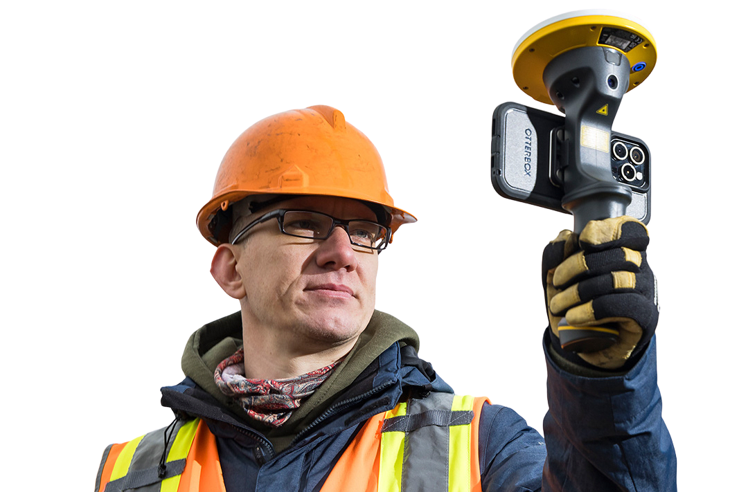
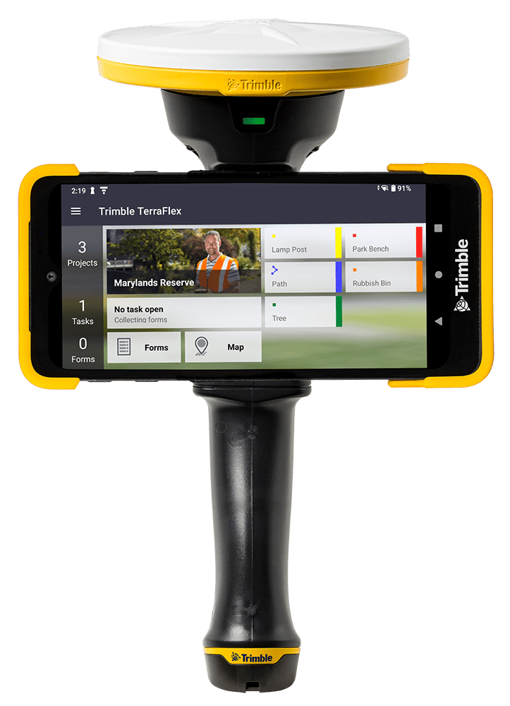
The HPS2 is a single handheld device that combines an electronic distance measurement (EDM) laser with GNSS positioning from the Trimble DA2 GNSS receiver. The integrated EDM enables you to measure distances to targets up to 25 m (80 ft), while the Trimble Catalyst™ GNSS positioning service delivers accurate positioning with the option to customize the accuracy level (survey-grade centimeter to sub-meter) and subscription term (monthly, annual or on-demand) to match your project needs.
The HPS2 is compatible with both Android and iOS devices, and can be attached using a simple magnetic mount stuck to the back of the phone or phone case. The HPS2 also features rechargeable, replaceable batteries, and can be held in the hand for full portability or pole-mounted when project accuracy requirements are higher. With an IP65 rating, the HPS2 is ready for whatever field conditions you work in.

Offset workflows in TerraFlex with HPS2
Pairing TerraFlex with an HPS2 enables you to combine GNSS and EDM into an intuitive and streamlined workflow for mapping assets in the field. To map assets you can physically access, simply use the accurate GNSS positioning from the DA2. For the assets you can’t access, whether in a road corridor or behind a fence, use the integrated EDM and GNSS offset workflow in TerraFlex.
The 2-shot offset workflow in TerraFlex with the HPS2 uses the phone camera view and a cross-hair to help you target the asset to be captured. Capture a distance to the target from two locations and TerraFlex will automatically combine the GNSS and laser measurements to calculate where the asset is located, select the correct one and store the position alongside other attribute and metadata information in the TerraFlex form. Check out the video below to see how easy TerraFlex and HPS2 can make capturing the location of a lamp post in a busy road corridor.

Availability
Trimble TerraFlex v2024.30 and the Trimble HPS2 handle are available now. Contact your local Trimble distribution partner for more information, watch a short on-demand webinar, or visit the TerraFlex and HPS2 product pages.