Smart move: Singapore Land Authority leverages precise positioning and geospatial innovations to transform this vibrant city
Singapore is on a mission to become a world-class, tech-driven city-state.
As part of its Smart Nation initiative, Singapore is leveraging advanced technology to transform how its people and businesses live, work and play. This focus on developing a digital economy is accelerating economic growth by digitizing industries and businesses.
The Singapore Land Authority (SLA) plays a crucial role in this transformation. In 2006, SLA established the Singapore Satellite Positioning Reference Network (SiReNT) with five reference stations to deliver accurate and reliable GPS correction services, primarily for land surveyors. By 2016, SiReNT had upgraded all 10 reference stations to support GNSS, expanding its applications across various industries, including sustainability, logistics, mobility and construction.
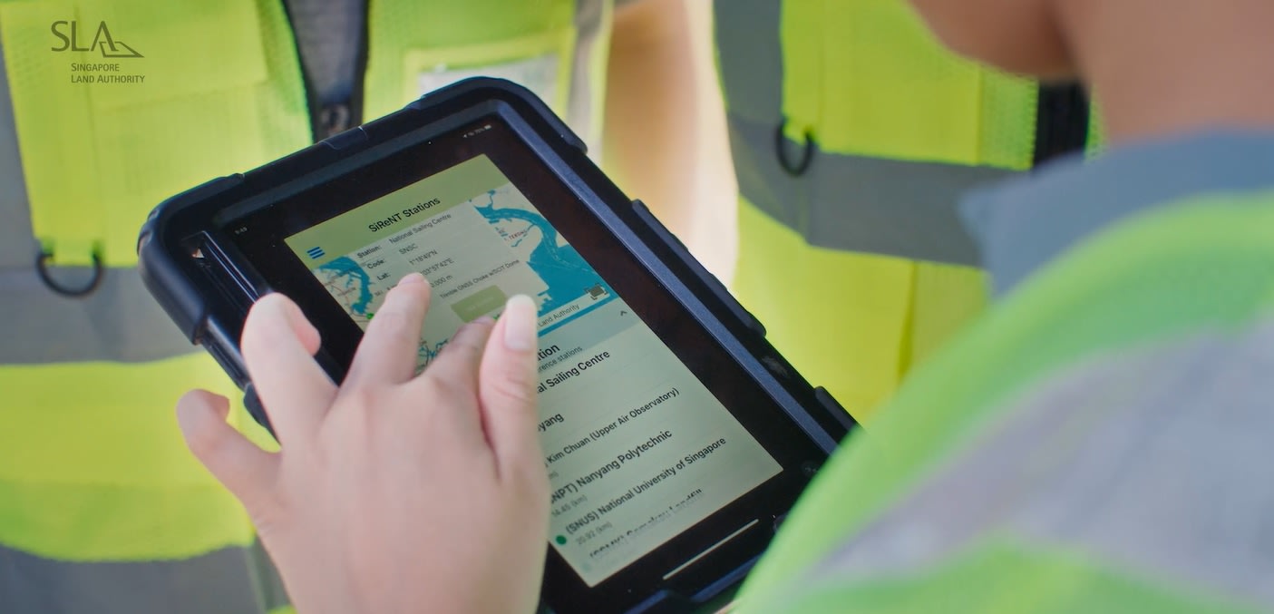
SiReNT’s real-time centimeter-level precise positioning is used to establish property boundaries, support a robust cadastral system and ensure precision in construction and piling works. By 2020, SiReNT’s user base had grown beyond land surveyors to include users from five main segments: geomatics, construction automation, asset management, autonomous robots and platforms and environmental monitoring. For example, GNSS signals enabled by SiReNT are used to track sea-level changes and support the development and operations of Autonomous Mobile Robots (AMR) and Autonomous Vehicles (AV).
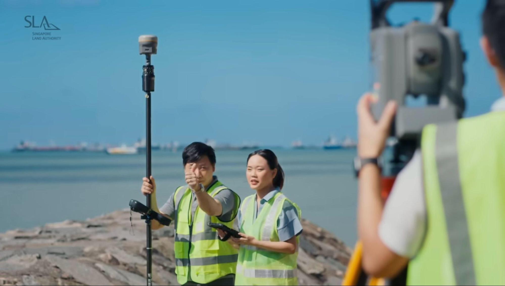

To achieve higher performance, reduce costs and improve accuracy, SiReNT and Trimble have been collaborating since 2016 to deliver consistent GNSS satellite positioning and precise location information. In 2022, Trimble® Alloy™ receivers were introduced into the SiReNT infrastructure, providing users with GNSS single-base or network-based Virtual Reference Stations (VRS) correction services.
Users benefit from real-time absolute positioning precision and accuracy of up to three centimeters for Smart Nation-type applications. SLA also utilizes Trimble products such as the R10 and DA2 GNSS receivers, VX total station and Trimble Business Center office software for data processing.
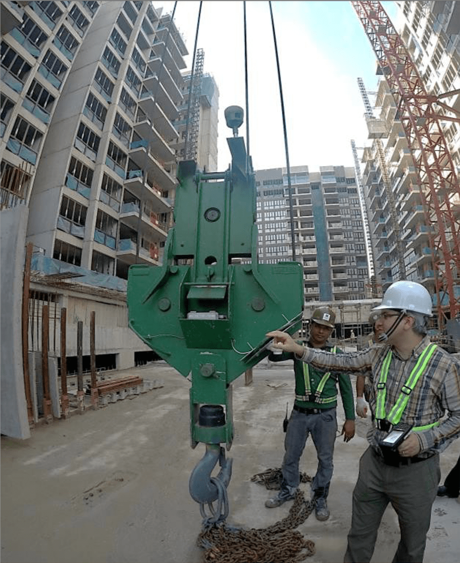
SiRent services for construction automation, precise piling and construction works
SLA’s Senior Geomatics Manager of the Survey and Geomatics Division, Tan Hua Seng Jimmy, explained: “With the Trimble Solutions Alloy receivers, SiReNT is able to provide reliable positioning to users in various industries and user segments to achieve precise positioning, navigation and tracking via the use of multi-constellation satellite positioning techniques, such as RTK and Post Process On-Demand (PP On-Demand).”
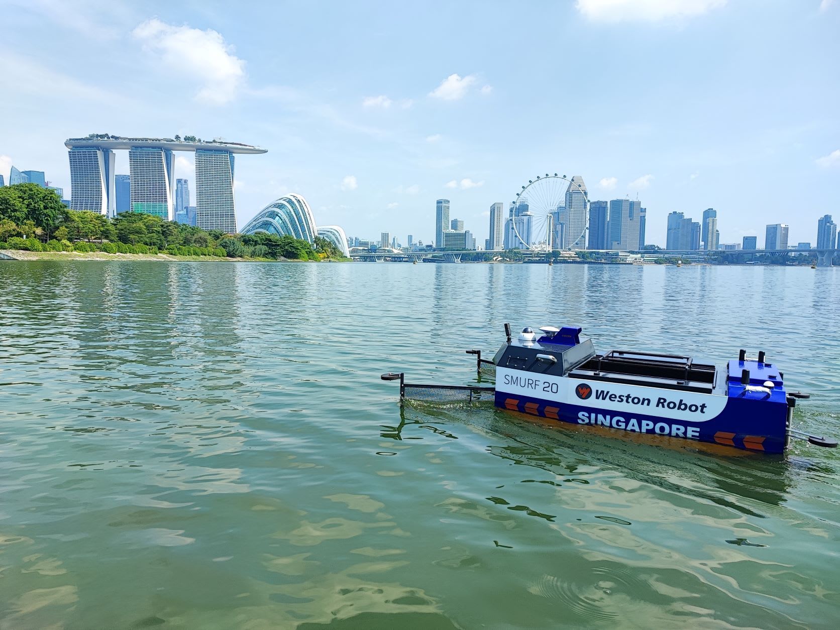

Jimmy added, “SiReNT is user-friendly. With a valid user account, users can simply connect to the services through the internet and receive SiReNT correction data in real-time onsite or be able to download past correction data for post processing at their desktop. There is no need for users to set up their own local base stations for precise positioning. Additionally, geospatial data captured using SiReNT is referenced to Singapore’s national coordinates reference frame, the SVY21. This ensures data homogeneity and interoperability instantly without the need for conversions.”
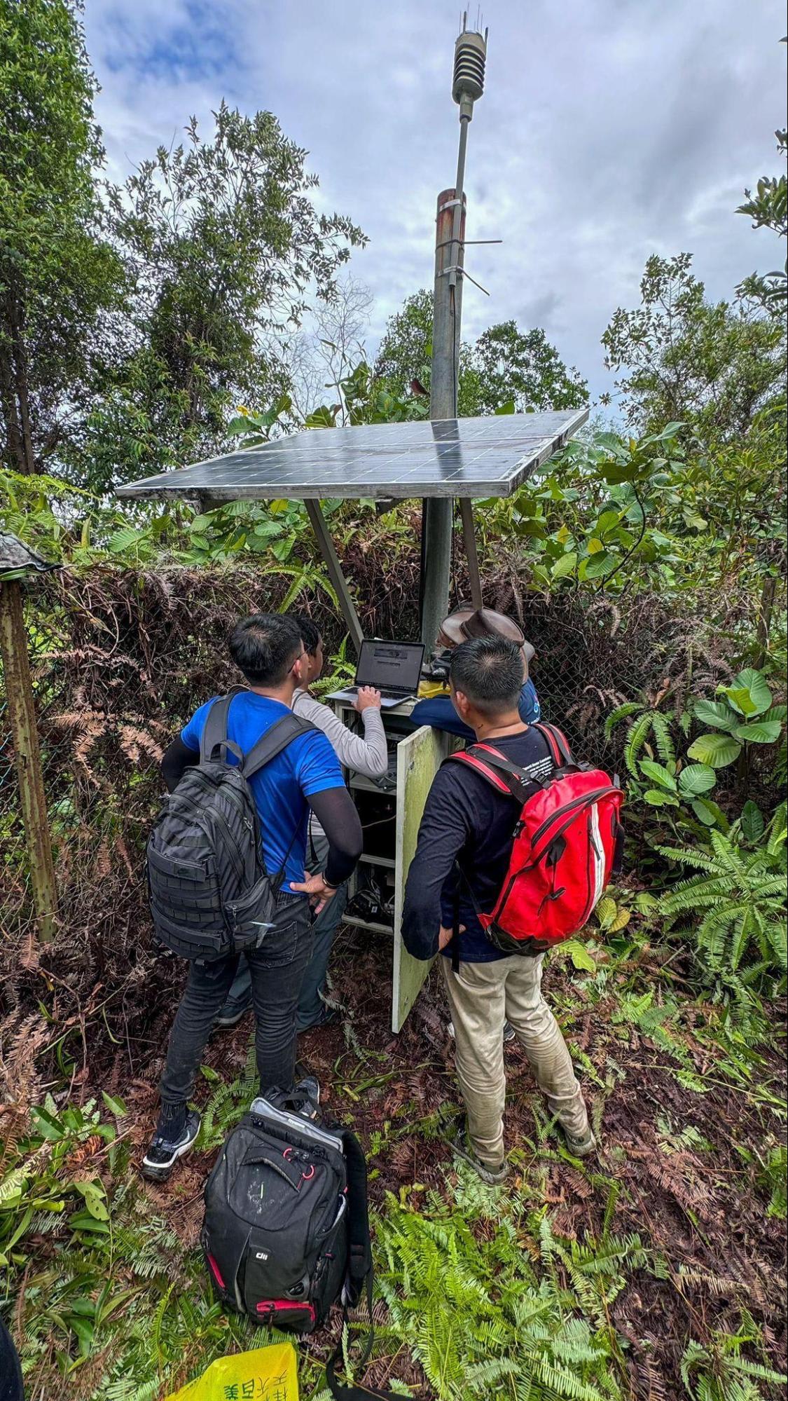
As Singapore progresses as a Smart City, SiReNT, backed by Trimble, spearheads initiatives for faster, smarter and more accessible geospatial data. The synergy between SiReNT and Trimble epitomizes a commitment to efficiency, cost reduction and enhanced data accuracy in line with Singapore's tech-driven evolution.
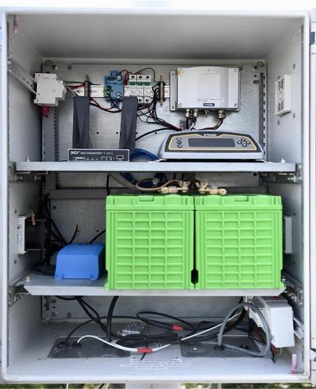
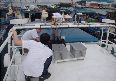
Trimble Alloy CORS receivers and application
Trimble solutions:
-
Trimble Alloy receivers
-
Trimble R10 GNSS receivers
-
Trimble DA2 GNSS receivers
-
VX total stations
-
Trimble Business Center office software
Link to published article in Geo Week News.