Correction services
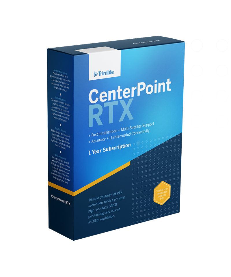
Trimble CenterPoint RTX
Always on. Always on point.
Satellite-delivered to reduce workflow complexity and complement your traditional RTK solutions, Trimble® CenterPoint® RTX correction provides centimeter-level accuracy in real time and enables untethered surveying—the freedom to work anywhere. And anytime.

Benefits and performance
Accelerating your operations
Enables true mobility to boost productivity, simplify your workflow and lower operating costs when used as a primary correction method for precise surveying.


Complementing traditional RTK methods
Maintains centimeter precision for uninterrupted work when used as positioning insurance—a "fill-in" correction in the event of RTK connectivity disruption

High accuracy
2 cm(H)/3 cm(V) [RMS]
Global service
Via satellite or the internet
<1min convergence
In select areas (NAM, EUR)
Features and capabilities

Software workflow compatible
An integral part of Trimble survey software workflows, including built-in time-dependent transformations. Learn how to configure Trimble RTX in Trimble Access™ software.

Wide range of applications
When looking to save time and money, ask yourself: is this a job for CenterPoint RTX correction? A valuable tool every surveyor should have in their toolset.

Real-time certainty
Discover how CenterPoint RTX correction provided confidence and efficiency on land, air, and water and worked the way this crew needed it to work.

Real-time GNSS corrections
This article discusses important considerations for your surveying workflow to help you choose the best GNSS correction tool for the job.

Industries and applications
The future of your work.
Trimble solutions facilitate high-quality, productive workflows and data exchange, driving value for a global, diverse user base.
Product summary
Trimble CenterPoint RTX
Precise Point Positioning (PPP) GNSS correction.
Product
Specifications
RTK-level accuracy
2 cm(H)/3 cm(V) [RMS]
Available worldwide
Satellite and/or internet delivery
Converging <1 min in select regions
<3 min worldwide (ProPoint devices)
Interoperable with RTK
Works in local coordinate system
Tracking full constellations
GPS, GLONASS, Galileo, BeiDou, QZSS
Providing better uptime
Around-the-clock network monitoring
| Skip comparison of 3 items | ||||
| Description | Accuracy [Values in RMS] | Delivery | Convergence | |
|---|---|---|---|---|
| Trimble CenterPoint RTXTrimble CenterPoint RTX | Real-time Precise Point Positioning (PPP) | 2 cm(H)/3 cm(V) | Satellite and internet | <1 min in select regions / <3 min worldwide for ProPoint devices |
| Trimble VRS NowTrimble VRS Now | Real-time network positioning | 2 cm (H) / 3 cm (V) | Internet | Immediate when you connect to the server |
| Trimble xFillTrimble xFill | Your real-time correction + Trimble RTX positioning insurance | Maintains centimeter-level accuracy | Satellite and internet | Always on and ready if your RTK connection drops |
Correction services
Trimble CenterPoint RTX
Get in touch for recommendations for the Trimble Geospatial hardware, software, and accessories needed to get your job done.
Where to buy
Works with...


Resources and knowledge


Watch what Trimble can do

Join us live or later

Deepen your knowledge
Read customer success stories, study ebooks and white papers, and more.

Next steps
Our global network of Distribution Partners provides precision geospatial solutions, insight and support at a local level.