Office software
Applanix POSPac MMS
A start-to-finish workflow for direct georeferencing.
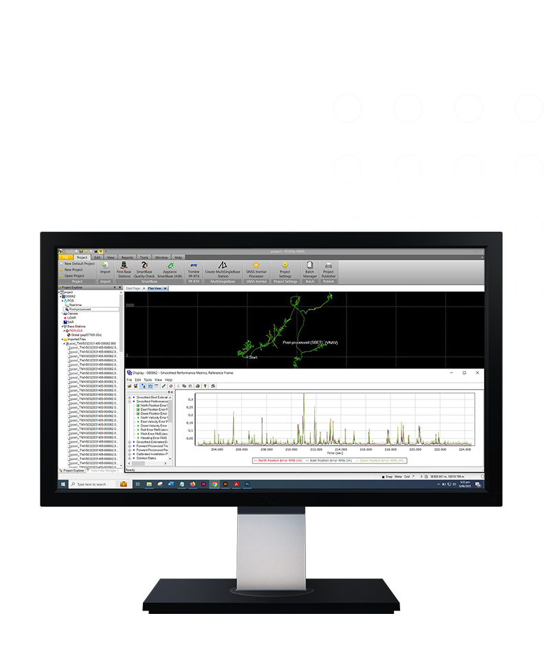
Applanix POSPac® Mobile Mapping office software, with postprocessed Trimble® CenterPoint® RTX, is an industry leading GNSS-aided inertial software for direct georeferencing of data collected from multiple types of sensors on mobile platforms.

Features and capabilities

With a single GNSS base station
Easily process trajectories with single or multiple GNSS base stations.

Obtain cm-level accuracy
Achieve centimeter-level accuracy without reference stations using postprocessed Trimble CenterPoint RTX data for open sky applications.

Work online or offline
License checkout capability for offline field jobs support.

Do more with Trimble technology
Achieve high accuracy with Applanix SmartBase and IN-Fusion technology.
Product summary
Applanix POSPac MMS
GNSS-aided inertial postprocessing.
Product
Features
Operating System
Windows 10 support
Processor
64-bit processing
License
Floating license support
Automatic base station survey
Static PP-RTX
Office software
Applanix POSPac MMS
Get in touch for recommendations for the Trimble Geospatial hardware, software, and accessories needed to get your job done.
Contact us
Works with...


Trimble Business Center Mobile Mapping


Resources and knowledge


Watch what Trimble can do

Join us live or later

Deepen your knowledge
Read customer success stories, study ebooks and white papers, and more.
Want to learn more?
Contact Trimble Geospatial today.