Office software
Trimble 4D Control
Level up your monitoring system.
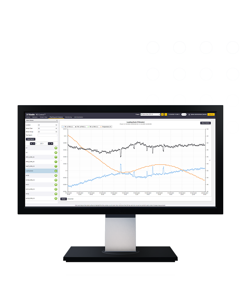
Elevate your monitoring with Trimble® 4D Control (T4D) software. Deploy this automated movement detection solution to make better-informed decisions. Easily configure a range of sensors, manage monitoring data and share real-time analysis with stakeholders.

Benefits and performance
A complete solution
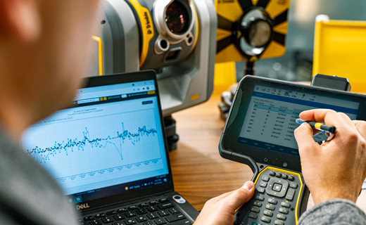
As the core of a monitoring project, T4D gathers measurements and manages and analyzes the data and alerts, to deliver the insights necessary for timely decisions.


Automation, efficiency & safety
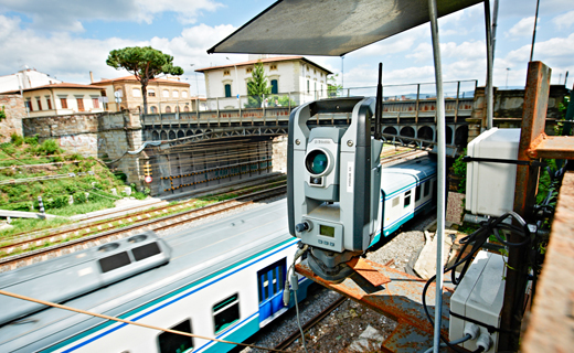
Increase efficiency through automation, resulting in fewer site visits while increasing safety via real-time reporting and alarming for informed decision-making.
Features and capabilities

Manage many sensors and data

Generate meaningful analysis

Notify project stakeholders

Rely on powerful engines

Industries and applications
The future of your work.
Trimble solutions facilitate high-quality, productive workflows and data exchange, driving value for a global, diverse user base.
Product summary
Trimble 4D Control
Automated movement detection with confidence.
Product
Features
Scalable conditional alarming
Movement or system outages
Comprehensive analysis
Customizable data visualization
Processing engines
Real-time and post-processed
Network adjustment
Combined and integrated
Alignment integration
Relate movement to design alignment
Contextual visualization
Background maps and imagery
Office software
Trimble 4D Control
Get in touch for recommendations for the Trimble Geospatial hardware, software, and accessories needed to get your job done.
Contact us
Works with...


Trimble S9 Autolock®
Advanced Autolock® total station with top field technologies and unmatched precision.


Trimble S7 Autolock®
Works efficiently and dependably while intelligently maintaining the highest possible accuracy.


Resources and knowledge


Watch what Trimble can do

Join us live or later

Deepen your knowledge
Read customer success stories, study ebooks and white papers, and more.

Want to learn more?
Contact Trimble Geospatial today.