Overcoming the Challenges of GNSS Surveying
In GNSS surveying, an unobstructed and constant connection between the ground and space is essential. Even the most skilled surveyor will encounter obstacles or errors they have no control over, making their GNSS receiver choice essential to a productive day.
Encountering these everyday problems and knowing how a sensor will perform can help geospatial professionals in any industry overcome almost any challenge in the field and back in the office.
The origin of GNSS is GPS
The Global Positioning System (GPS) was developed by the US Department of Defense as a worldwide navigation resource for military and civilian use and first released in 1978.
It was based on a constellation of 24 satellites orbiting Earth, acting as reference points, which GPS receivers on the ground could use to compute their position. Today, GPS is joined by other satellite constellations, including GLONASS, Galileo, BeiDou and others, greatly expanding the number of positioning satellites in orbit. Collectively these constellations are referred to as GNSS (Global Navigation Satellite Systems).
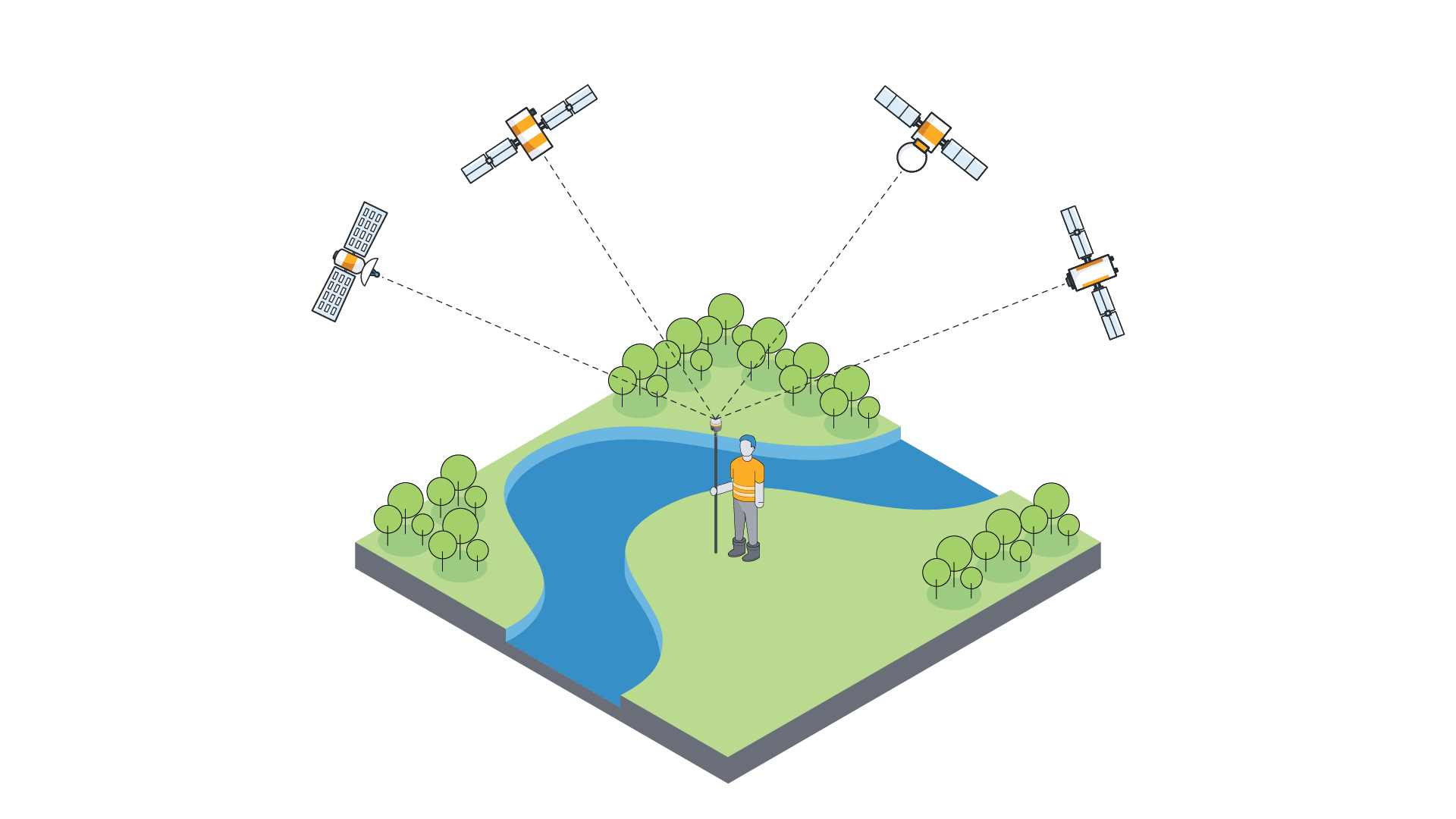
GNSS receivers work by listening to a series of specially coded messages transmitted by each satellite; a GNSS receiver on the ground can calculate how long it took the signal to get from the satellite to its own antenna. Then, to calculate the distance from the antenna to the satellite, the receiver multiplies that travel time by the speed of light. A GNSS receiver is able to make this calculation with multiple satellites simultaneously. If it is receiving messages from at least four satellites, it can then triangulate its location anywhere on the surface of Earth.

Common GNSS challenges and errors
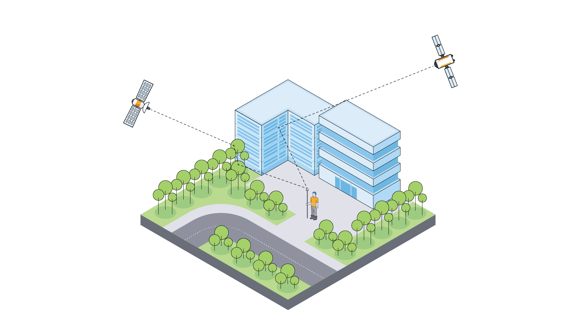
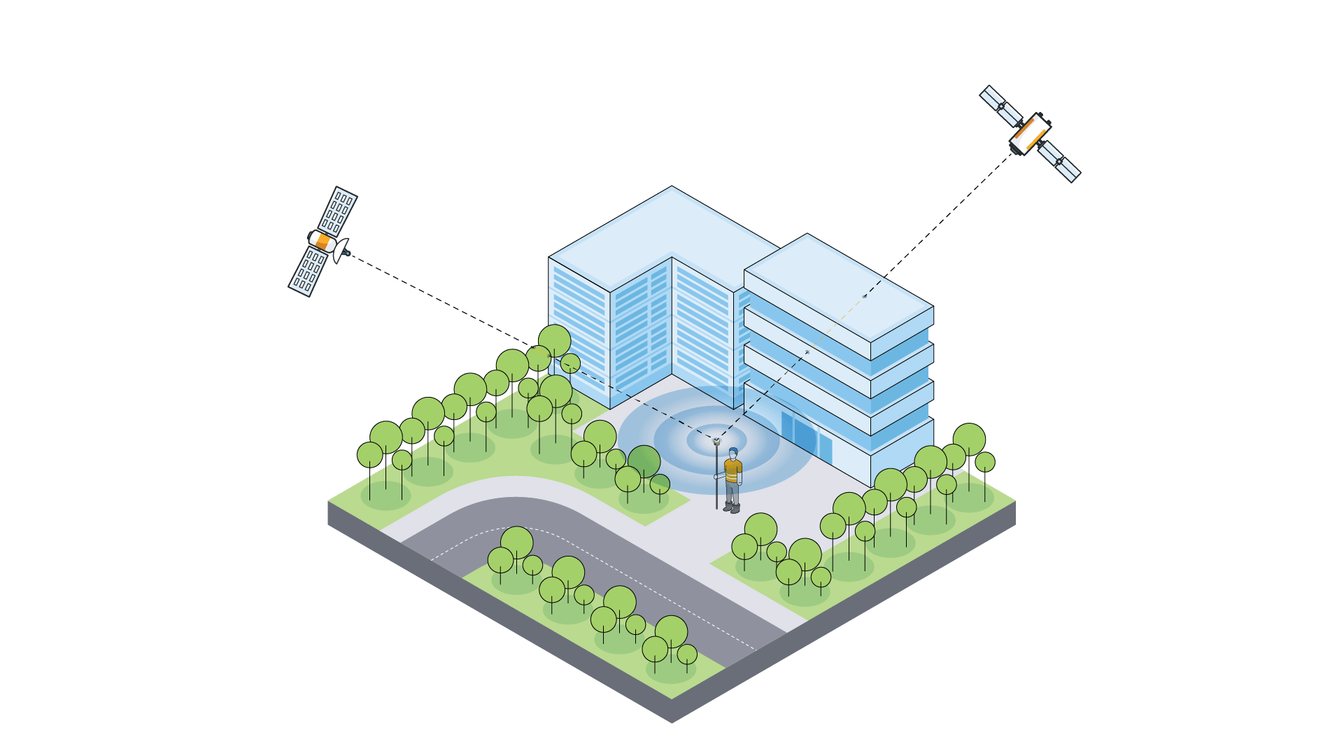
If the view between the ground and space becomes blocked or partially obscured, it can lead to errors in the location calculation by the GNSS receiver — even when it is tracking a large number of satellites. One type of error is caused when the signals from satellites bounce off of objects on their way to the receiver instead of traveling in a direct line. This is known as “multipath,” and it’s very common when working near obstructions like buildings, large trees and other structures.

It is possible to maneuver around multipath challenges, but there are also errors that surveyors have no control over, like errors caused by the atmosphere, a receiver malfunctioning or errors stemming from the satellites the receiver is tracking.
How the receiver deals with these errors makes the biggest difference to your working day. With modern technology, a surveyor in the field can work in GNSS environments that they could only dream about 10 years ago. Now, you can use GNSS receivers in steep urban canyons, survey closer to buildings, and push under a more dense canopy without needing to swap between using a GNSS rover or a total station. This is a significant leap forward in saving time on projects without compromising accuracy or level of detail.
Improve confidence and go further, faster
One possible approach to counteracting the effects of multipath and other challenges is by using a receiver with Trimble® ProPoint®, the most advanced GNSS processing engine in the industry.
With a new approach to GNSS signal filtering, ProPoint utilizes any available signals to be used in the RTK position solution, including individual signals, even in harsh tracking environments. Other GNSS processing engines require clean, unobstructed signals from at least four satellites in every constellation you want to use, which is nearly impossible when working next to buildings or under trees.

In direct testing with the previous-generation RTK engine in these extremely common, challenging GNSS environments, the ProPoint engine performed at least 30% better across a variety of factors, including time to achieve centimeter precision levels, position accuracy and measurement reliability. Surveyors do not get to select where their projects are located or under which conditions they will be subjected to while working on them, they simply need to get the work done, anywhere, and need the tools to do so.
To learn more about the testing scenarios and the outcomes provided by advanced GNSS processing engines, download the white paper here.