A road less traveled: Minnesota’s Department of Transportation’s innovative journey to cloud-connected construction
In a $4.7 million urban renewal project, the Minnesota Department of Transportation (MnDOT) transformed a stretch of State Highway 67 into a model for the future of transportation infrastructure. The project, led by MnDOT engineering specialist Al Setrum and Frontier Precision's Jay Haskamp, leveraged a cloud-connected digital workflow to streamline everything from inspection to long-term asset management.
Real-time data replaces paper plans
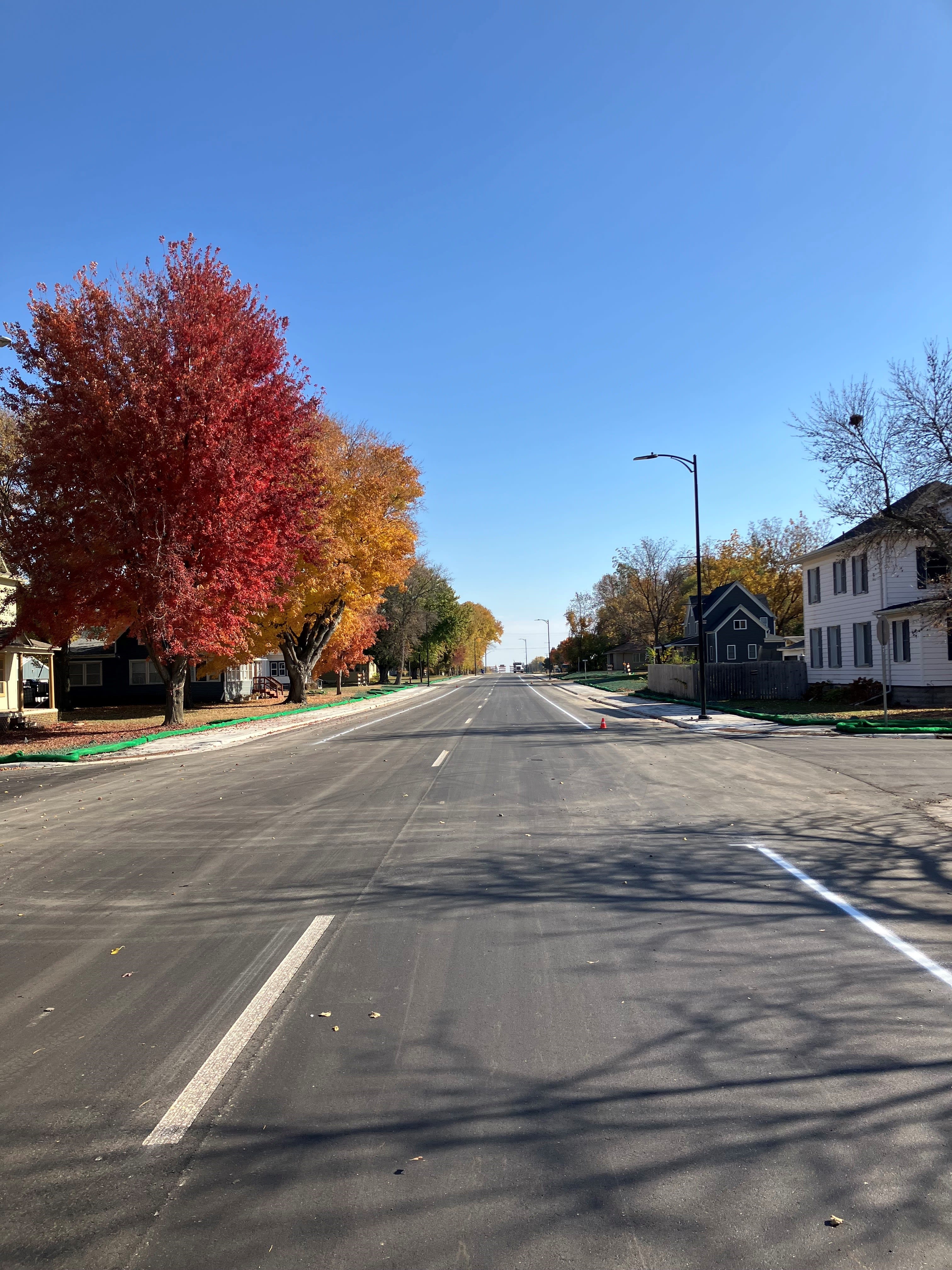
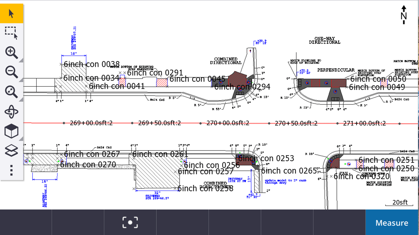
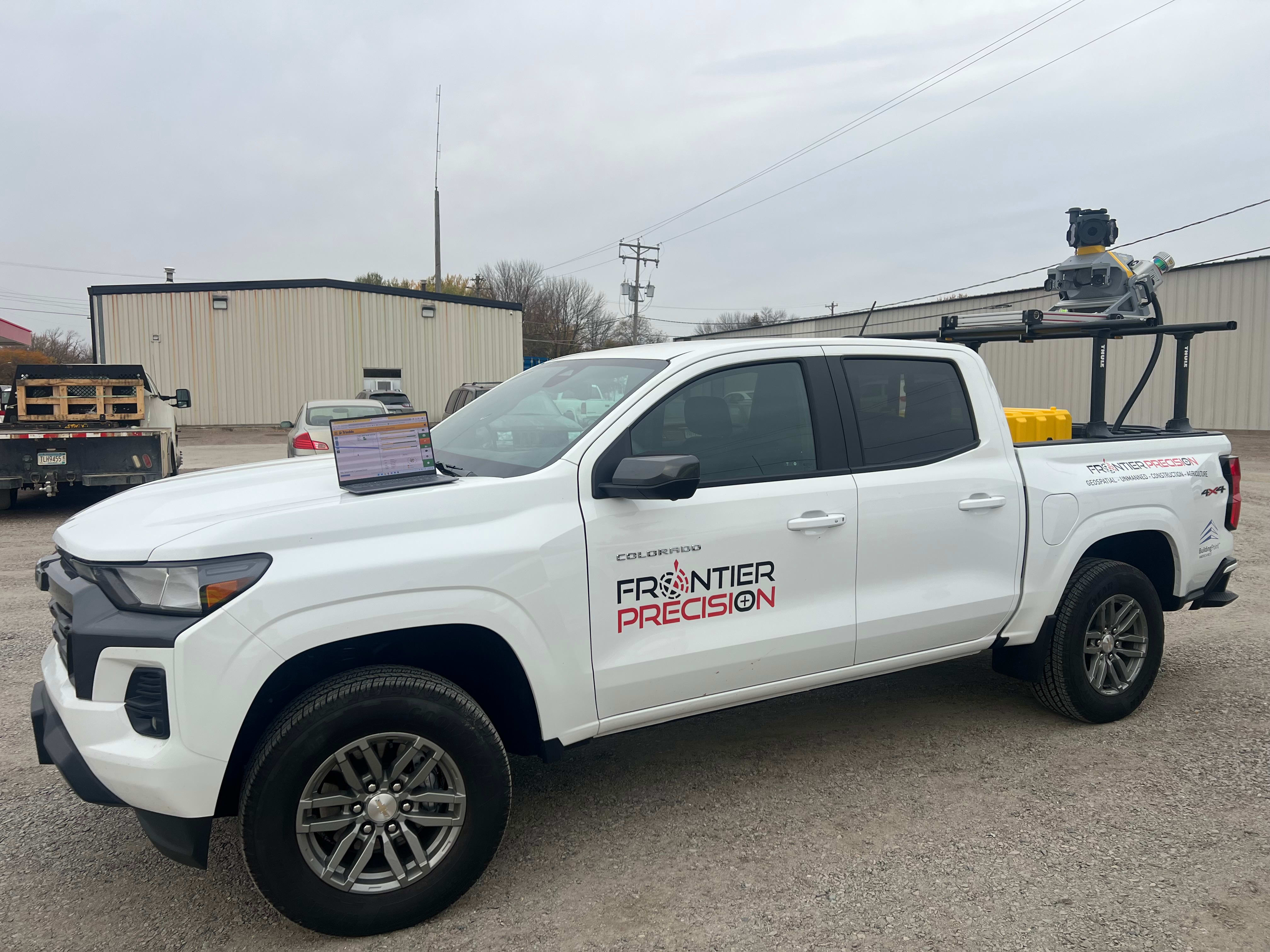
The Clarkfield project involved the complete reconstruction of eight blocks of downtown, including roadways, sewers, sidewalks and Americans with Disabilities Act (ADA)-compliant ramps. The key to its success was an expedited inspection process using Trimble® Access™ Mobile Inspector, which connects to Infotech Mobile Inspector via the Trimble Access Measure Service.
This powerful integration reduced project certification time by an impressive 80%. Inspectors could work more quickly thanks to immediate access to all necessary data stored in the cloud.
"Interoperability between Trimble Access and Infotech’s Mobile Inspector for AASHTOWare Project revolutionizes the digital inspection process,” said Sentrum.
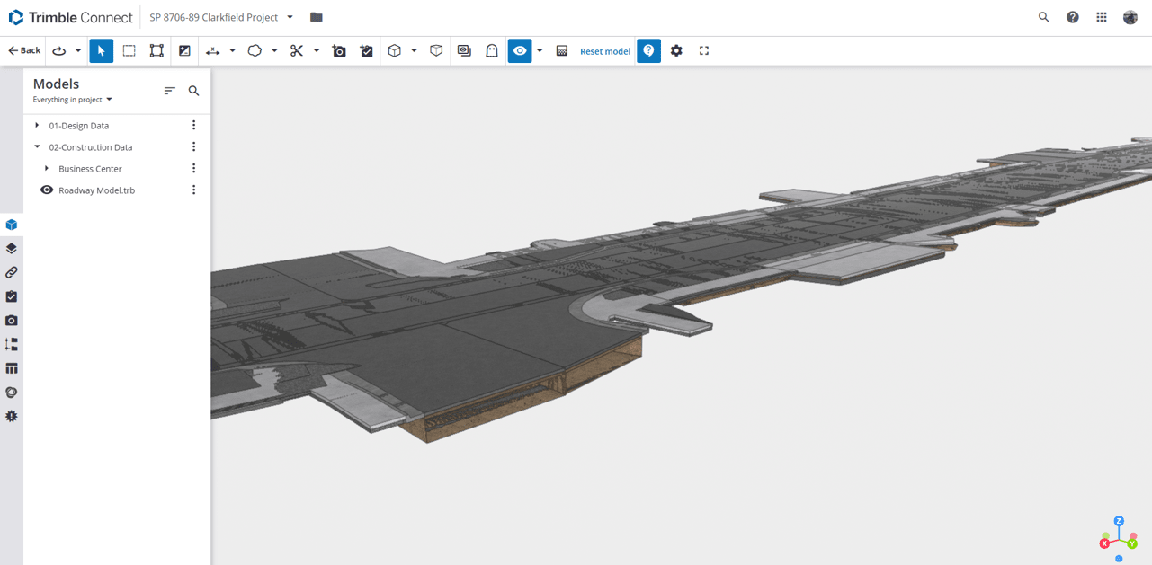
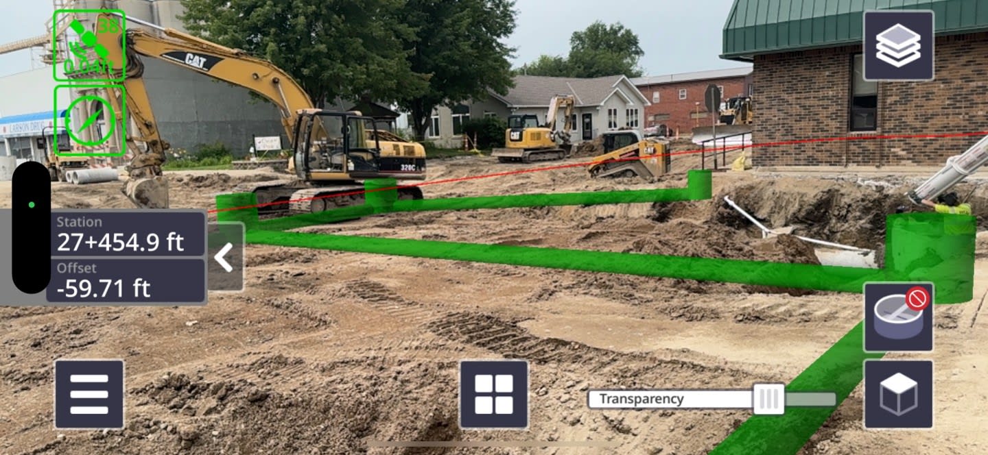
Intelligent 3D models proved invaluable in the field, allowing inspectors to verify placement and attributes with unprecedented accuracy. "Inspectors want access to as much data as possible in the field so they have everything they need without carrying around paper plans," said Haskamp. The team used Trimble Connect to push files to the cloud, fostering real-time collaboration and data sharing.
Digital DNA pays long-term dividends
The project addressed challenges with 2D designs by converting them into 3D models within Trimble Business Center (TBC). This allowed inspectors to visually compare their measurements against the design in real time as structures were being placed. The data collected was then integrated into MnDOT's asset management system, creating a comprehensive digital as-built record.
Real-time data sharing proved instrumental in resolving on-site issues quickly. For example, when a question arose about storm sewer installation, the team used augmented reality to visually confirm the pipe's placement in real time, saving a three-hour trip for a survey crew.
Quality data collected during the construction phase continues to pay dividends long after the project is complete, especially since the operations and maintenance phases account for 70% of an asset's total cost. This information is incorporated into MnDOT’s asset lifecycle management (ALM) software to minimize total cost of ownership through improved collaboration and data-driven decisions.
Setrum has personally trained staff in all 20 MnDOT offices on how to use these digital tools, demonstrating that inspectors do not need to be experienced surveyors to be effective. The project’s success in Clarkfield proves that moving from paper plans to cloud-connected digital workflows is transformative — delivering 80% faster project certification and slashing long-term maintenance costs.