Office software
Trimble Business Center Aerial Photogrammetry
Elevated aerial survey workflows.
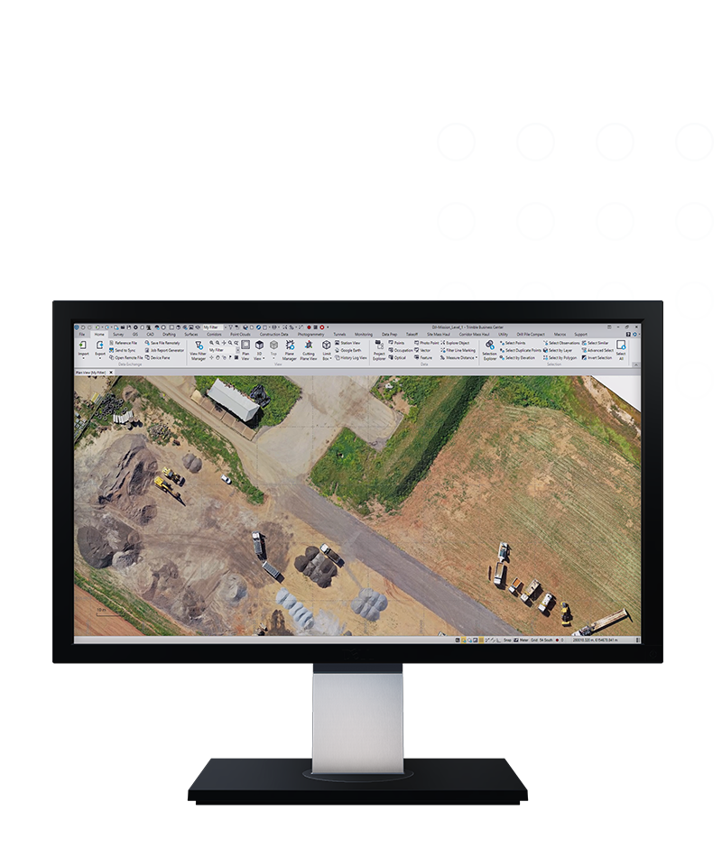
The Trimble® Business Center (TBC) aerial photogrammetry office software seamlessly integrates aerial photogrammetry adjustments and deliverables with existing survey workflows and data processing features.
Benefits
Take your UAV data further with TBC
Transform your UAV data into geo information using CAD, surface, corridor, point cloud classification and feature extraction, and scan inspection tools.

One software for many sensors
Ensure fidelity and save time by combining your UAV deliverables with GNSS, total station or digital level data, and terrestrial or mobile mapping scan data.

Affordable
Lower upfront costs
Flexible
Built around your needs
Always up-to-date
Benefit from enhancements
Features and capabilities

A workflow for any drone
Leverage your production with a comprehensive camera library of all the industry-leading brands or you can flexibly add your new UAV to the library.

Three-step processing
Import, adjust, and create with straightforward steps that balance intuitive options with the quality of the underlying photogrammetric adjustment.

Every step optimized
Continuously add new drones for baseline processing, reducing manual ground control point measurement with fully automatic target detection.

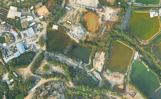
High accuracy results
Create denser, survey-grade point clouds and orthophotos with sharper edges, higher contrast and better color balance than other photogrammetric software.

Industries and applications
The future of your work.
Trimble solutions facilitate high-quality, productive workflows and data exchange, driving value for a global, diverse user base.
Product summary
Trimble Business Center Aerial Photogrammetry
Streamlined UAV workflows for surveyors.
Product
Features
Existing condition maps
Create accurate surface models
As-built topography
Document interim & final stages
Precise volume & quantities
Report earthwork computations
Robust inspections
Compute & compare to model objects
Detect site changes
Monitor progress visually
Clearances & distances
Measure to make timely decisions
Office software
Trimble Business Center Aerial Photogrammetry
Get in touch for recommendations for the Trimble Geospatial hardware, software, and accessories needed to get your job done.
Where to buyWorks with...


Trimble SX12
High-accuracy total station with high-precision scanning capabilities.


Resources and knowledge


Watch what Trimble can do


Deepen your knowledge
Read customer success stories, study ebooks and white papers, and more.

Next steps
Our global network of Distribution Partners provides precision geospatial solutions, insight and support at a local level.