Office software
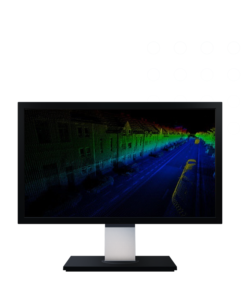
Trimble MX
Simplicity, efficiency and intelligence.
Mobile mapping operations collect massive data sets very quickly. Trimble® MX software is the perfect solution for surveyors like you to organize, extract and collaborate on mobile mapping data.
Features and capabilities

Fast, easy data organization
Efficiently clean and organize data for deliverable production.

Extract and perform actions
Easily extract features and measurements to populate local layers or remote databases with Trimble MX Assets Manager.

Keep everyone in the loop
Trimble MX software simplifies the sharing of mobile mapping results with project stakeholders.

Works with top GIS & CAD apps
Streamline access to mobile mapping data in many popular GIS and CAD environment with Trimble MX Publisher plug-ins.
Product
Features
Operating system
Microsoft® Windows® 7.8 or 10
Processor
64bit, 2.8 GHz quad-core or higher
RAM
16 to 32 GB
Graphics card
No requirement
Server disks
500 MB
Disk space
Reserve 10 to 50 GB free disk-space
Office software
Trimble MX
Get in touch for recommendations for the Trimble Geospatial hardware, software, and accessories needed to get your job done.
Contact usWorks with...


Trimble Business Center Mobile Mapping


Resources and knowledge


Watch what Trimble can do


Deepen your knowledge
Read customer success stories, study ebooks and white papers, and more.
Want to learn more?
Contact Trimble Geospatial today.